

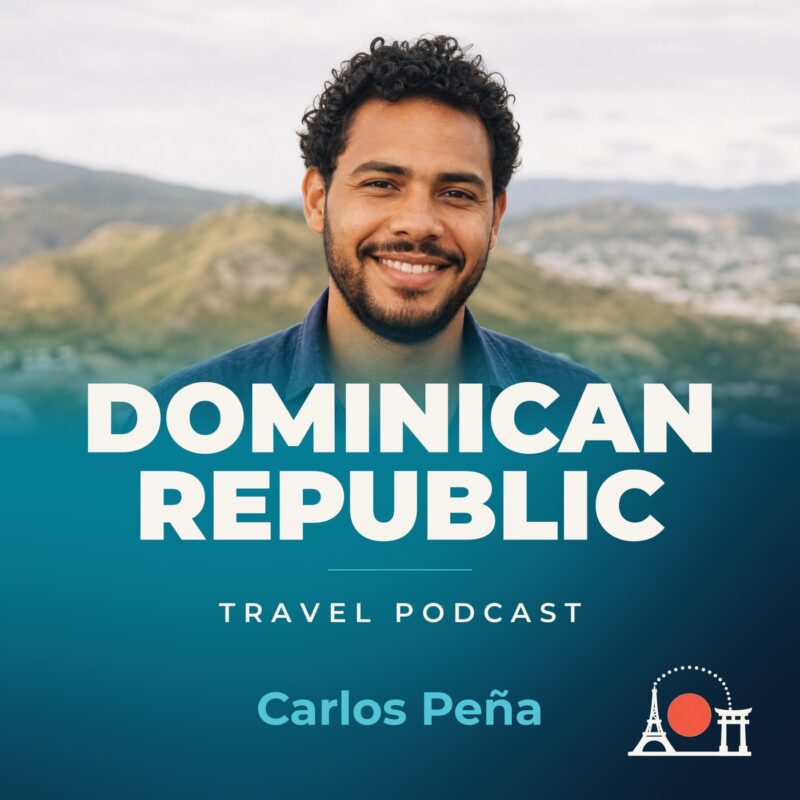
Dominican Republic Travel Podcast with Carlos Peña
Hosted by Carlos Peña — a new episode every day from Dominican Republic.
The show follows Carlos Peña as he settles in different parts of the Dominican Republic, learning each place before moving on. Travelling in the country means negotiating a landscape of rugged highlands, fertile valleys and coastal plains, with Santo Domingo as the historic and demographic core. Geography shapes every journey.
Over the course of the series, Carlos covers Santo Domingo, the Cibao Valley, the Cordillera Central and the southern coastal plains. That means episodes range from the capital’s colonial streets to mountain trails around Pico Duarte, and from valley farming towns to the low-lying coast. The interior gets as much attention as the beach resorts.
The show unfolds across a couple of years, so the wet and dry seasons shape what Carlos encounters. He returns to places he has already visited in the Cibao Valley and the Cordillera Central, noticing how rainfall, farming rhythms and local life shift between visits. Knowing a place properly, for him, means watching it change rather than passing through once.
Recent episodes
Things to do in Dominican Republic
 Special offer
Buggy Adventure Punta Cana Macao Beach Water cave and Off-road
Special offer
Buggy Adventure Punta Cana Macao Beach Water cave and Off-road
 Professional Photographer in Punta Cana for Private Events
 VIP Transfer from Punta Cana Airport to Punta Cana / Bavaro Hotel
 Private Luxury Catamaran - Saona or Catalina island
 Buggy Punta Cana offroad
 Hip Hop Party Boat Punta Cana with Snorkeling Only Adults
 Private Transfers Between Punta Cana Airport and Hotels
 PARTY BOAT - Private Sailing Catamaran
Plan your trip to Dominican Republic
Getting around
Staying connected
Dominican Republic at a glance
Dominican Republic in depth
Reference data on the country — geography, people, history, economy and transport.
Geography and climate
Location
Caribbean, eastern two-thirds of the island of Hispaniola, between the Caribbean Sea and the North Atlantic Ocean, east of Haiti
Terrain
Rugged highlands and mountains interspersed with fertile valleys
Climate
Tropical maritime; little seasonal temperature variation; seasonal variation in rainfall
Elevation
- Highest point
- Pico Duarte 3,098 m
- Lowest point
- Lago Enriquillo -46 m
- Mean elevation
- 424 m
Area
- Total
- 48,670 sq km
- Land
- 48,320 sq km
- Water
- 350 sq km
Size comparison
Slightly more than twice the size of New Jersey
Coastline
1,288 km
Land borders
- Total
- 376 km
- Border countries
- Haiti 376 km
Natural resources
Nickel, bauxite, gold, silver, arable land
Land use
- Agricultural land
- 55.4% (2023 est.)
- Arable land
- 20.2% (2023 est.)
- Permanent crops
- 11.3% (2023 est.)
- Permanent pasture
- 23.8% (2023 est.)
- Forest
- 46.6% (2023 est.)
- Other
- 0% (2023 est.)
Natural hazards
Lies in the middle of the hurricane belt and subject to severe storms from June to October; occasional flooding; periodic droughts
Note
Shares island of Hispaniola with Haiti (eastern two-thirds makes up the Dominican Republic, western one-third is Haiti); the second largest country in the Antilles (after Cuba); geographically diverse with the Caribbean's tallest mountain, Pico Duarte, and lowest elevation and largest lake, Lago Enriquillo
People and society
Population
- Total
- 10,899,292 (2025 est.)
- Male
- 5,506,679
- Female
- 5,392,613
Nationality
- Noun
- Dominican(s)
- Adjective
- Dominican
Ethnic groups
Mixed 70.4% (Mestizo/Indio 58%, Mulatto 12.4%), Black 15.8%, White 13.5%, other 0.3% (2014 est.)
Languages
- Languages
- Spanish (official)
- Major-language sample(s)
- La Libreta Informativa del Mundo, la fuente indispensable de información básica. (Spanish)
Religions
Evangelical 50.2%, Roman Catholic 30.1%, none 18.5%, unspecified 1.2% (2023 est.)
Median age
- Total
- 29.6 years (2025 est.)
- Male
- 29.1 years
- Female
- 29.4 years
Life expectancy
- Total population
- 72.6 years (2024 est.)
- Male
- 71 years
- Female
- 74.3 years
Urbanisation
- Urban population
- 84.4% of total population (2023)
- Rate of urbanization
- 1.64% annual rate of change (2020-25 est.)
Where people live
Coastal development is significant, especially in the southern coastal plains and the Cibao Valley, where population density is highest; smaller population clusters exist in the interior mountains (Cordillera Central)
Largest cities
3.524 million SANTO DOMINGO (capital) (2023)
Background and government
Background
The Taino -- indigenous inhabitants of Hispaniola prior to the arrival of Europeans -- divided the island now known as the Dominican Republic and Haiti into five chiefdoms and territories. Christopher COLUMBUS explored and claimed the island on his first voyage in 1492; it became a springboard for Spanish conquest of the Caribbean and the American mainland. In 1697, Spain recognized French dominion over the western third of the island, which in 1804 became Haiti. The remainder of the island, by then known as Santo Domingo, sought to gain its own independence in 1821, but the Haitians conquered and ruled it for 22 years; it finally attained independence as the Dominican Republic in 1844. In 1861, the Dominicans voluntarily returned to the Spanish Empire, but two years later, they launched a war that restored independence in 1865.
A legacy of unsettled and mostly non-representative rule followed, capped by the dictatorship of Rafael Leonidas TRUJILLO from 1930 to 1961. Juan BOSCH was elected president in 1962 but was deposed in a military coup in 1963. In 1965, the US led an intervention in the midst of a civil war sparked by an uprising to restore BOSCH. In 1966, Joaquin BALAGUER defeated BOSCH in the presidential election. BALAGUER maintained a tight grip on power for most of the next 30 years, until international reaction to flawed elections forced him to curtail his term in 1996. Since then, regular competitive elections have been held.
Government
Presidential republic
Capital
Santo Domingo
Time zone
UTC-4 (1 hour ahead of Washington, DC, during Standard Time)
Local name
República Dominicana
Independence
27 February 1844 (from Haiti)
National day
Independence Day, 27 February (1844)
Economy and cost of living
Overview
Surging middle-income tourism, construction, mining, and telecommunications OECS economy; major foreign US direct investment and free-trade zones; developing local financial markets; improving debt management; declining poverty
GDP per capita
- Real GDP per capita 2024
- $24,200 (2024 est.)
- Real GDP per capita 2023
- $23,300 (2023 est.)
- Real GDP per capita 2022
- $23,000 (2022 est.)
Inflation
- Inflation rate (consumer prices) 2024
- 3.3% (2024 est.)
- Inflation rate (consumer prices) 2023
- 4.8% (2023 est.)
- Inflation rate (consumer prices) 2022
- 8.8% (2022 est.)
Unemployment
- Unemployment rate 2024
- 5.5% (2024 est.)
- Unemployment rate 2023
- 5.6% (2023 est.)
- Unemployment rate 2022
- 5.6% (2022 est.)
Exchange rate
- Currency
- Dominican pesos (DOP) per US dollar -
- Exchange rates 2024
- 59.565 (2024 est.)
- Exchange rates 2023
- 56.158 (2023 est.)
- Exchange rates 2022
- 55.141 (2022 est.)
- Exchange rates 2021
- 57.221 (2021 est.)
- Exchange rates 2020
- 56.525 (2020 est.)
Main industries
Tourism, sugar processing, gold mining, textiles, cement, tobacco, electrical components, medical devices
Agriculture
Sugarcane, bananas, papayas, plantains, avocados, rice, milk, watermelons, vegetables, pineapples (2023)
Transport and connectivity
Airports
32 (2025)
Railways
- Total
- 496 km (2014)
- Standard gauge
- 354 km (2014) 1.435-m gauge
- Narrow gauge
- 142 km (2014) 0.762-m gauge
Ports
- Total ports
- 17 (2024)
- Large
- 0
- Medium
- 2
- Small
- 7
- Very small
- 6
- Size unknown
- 2
- Ports with oil terminals
- 7
- Key ports
- Andres (Andres Lng Terminal), Las Calderas, Puerto de Haina, Puerto Plata, Punta Nizao Oil Terminal, San Pedro de Macoris, Santa Barbara de Samana, Santa Cruz de Barahona, Santo Domingo
Internet domain
.do
Internet users
Percent of population 85% (2023 est.)
Mobile subscriptions
- Total subscriptions
- 10.7 million (2024 est.)
- Subscriptions per 100 inhabitants
- 94 (2024 est.)
Environment
Environmental issues
Soil eroding into the sea damages coral reefs; deforestation
Fresh water
23.5 billion cubic meters (2022 est.)
Country reference figures are periodically revised. Check anything time-sensitive or safety-critical against an official source before you travel.
Dominican Republic travel guides
 Food & Drink
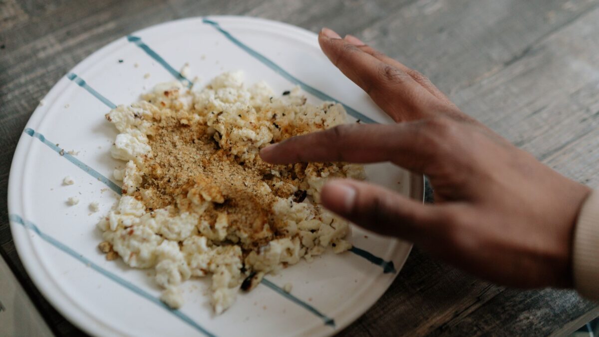
What to eat in Dominican Republic — and what it costs
Discover what to eat in the Dominican Republic, from mangú to la bandera. Real prices, local spots in Santo Domingo, and honest costs for…
 News & Updates
Dominican Republic in September 2026: what travelers should know now
Santo Domingo in Sept 2026: weather, FILSD book fair, earthquake drills, costs & safety tips for your trip.
 Costs & Money
How much does a trip to Dominican Republic cost?
Discover the true cost of visiting the Dominican Republic in 2026. Realistic budget breakdowns for Santo Domingo including food, transit, and accommodation.
 News & Updates
Dominican Republic in August 2026: what travelers should know now
Dominican Republic in August 2026: Festival Presidente returns, free Malecón concerts, Turizoneando events, weather, costs, and practical travel tips for Santo Domingo this month.
Caribbean
 Cuba
CubaCuba Travel Podcast with Yenisel Morales
The dry season from November to April brings clearer skies to Cuba's plains and the Sierra Maestra foothills, while the rainy season…
 Jamaica
Jamaica Travel Podcast with Andre Campbell
Kingston, Jamaica's capital and largest city, sits between the Cayman Trench and the Jamaica Channel, the main sea lanes for the Panama…