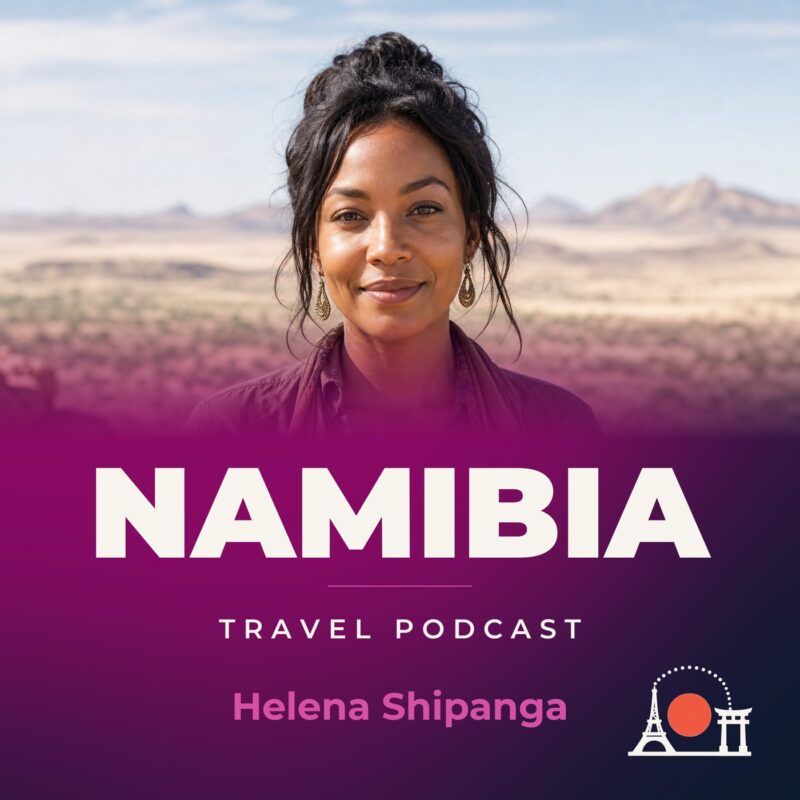
Namibia Travel Podcast with Helena Shipanga
Hosted by Helena Shipanga — a new episode every day from Namibia.
Namibia’s terrain is mostly high plateau, with the Namib Desert along the coast and the Kalahari in the east. The podcast follows one woman as she moves through the country the way a resident does, staying long enough to notice the sparse, erratic rainfall and the concentration of people in the far north-central area.
Episodes move from Windhoek to the Namib Desert coast, then north to Oshakati and on to Damaraland. The host listens for the many languages spoken along the way, from Oshiwambo in the north to Nama/Damara in the central west. She follows the connections between these places, returning to them as the dry season settles.
The series accumulates slowly. The host settles in one place, learns it, then moves somewhere connected to it. She returns to earlier places as the erratic rains change the land, so the same route looks different in a dry year and a wet one. This is how knowing a place properly happens: by watching, waiting, and noticing what remains.
Recent episodes
Things to do in Namibia
 Likely to sell out
9 Day Etosha, Skeleton Coast & Sossusvlei Camping & Lodge Safari
Likely to sell out
9 Day Etosha, Skeleton Coast & Sossusvlei Camping & Lodge Safari
 Seal Kayaking at Pelican Point from Swakopmund
 Sandwich Harbour Seals and Dune Tour
 Sandwich Harbour & Pelican Point Tour 7hours
 Seal Kayaking at Pelican Point from Walvis Bay
 Namib Desert Landscape Tour
 Mola Mola Day with Beach Braai Lunch
 Sandwich Harbour 4x4 Guided Tour - Unforgettable Adventure
Plan your trip to Namibia
Getting around
Staying connected
Namibia at a glance
Namibia in depth
Reference data on the country — geography, people, history, economy and transport.
Geography and climate
Location
Southern Africa, bordering the South Atlantic Ocean, between Angola and South Africa
Terrain
Mostly high plateau; Namib Desert along coast; Kalahari Desert in east
Climate
Desert; hot, dry; rainfall sparse and erratic
Elevation
- Highest point
- Konigstein on Brandberg 2,573 m
- Lowest point
- Atlantic Ocean 0 m
- Mean elevation
- 1,141 m
Area
- Total
- 824,292 sq km
- Land
- 823,290 sq km
- Water
- 1,002 sq km
Size comparison
Almost seven times the size of Pennsylvania; slightly more than half the size of Alaska
Coastline
1,572 km
Land borders
- Total
- 4,220 km
- Border countries
- Angola 1,427 km; Botswana 1,544 km; South Africa 1,005 km; Zambia 244 km
Natural resources
Diamonds, copper, uranium, gold, silver, lead, tin, lithium, cadmium, tungsten, zinc, salt, hydropower, fish
Land use
- Agricultural land
- 47.1% (2023 est.)
- Arable land
- 1% (2023 est.)
- Permanent crops
- 0% (2023 est.)
- Permanent pasture
- 46.2% (2023 est.)
- Forest
- 9.8% (2023 est.)
- Other
- 43.1% (2023 est.)
Natural hazards
Prolonged periods of drought
Note
The Namib Desert, after which the country is named, is considered to be the oldest desert in the world; some 14% of the land is protected, including virtually the entire Namib Desert coastal strip
People and society
Population
- Total
- 2,852,777 (2025 est.)
- Male
- 1,402,136
- Female
- 1,450,641
Nationality
- Noun
- Namibian(s)
- Adjective
- Namibian
Ethnic groups
Ovambo 50%, Kavangos 9%, Herero 7%, Damara 7%, mixed European and African ancestry 6.5%, European 6%, Nama 5%, Caprivian 4%, San 3%, Baster 2%, Tswana 0.5%
Languages
Oshiwambo languages 49.7%, Nama/Damara 11%, Kavango languages 10.4%, Afrikaans 9.4%, Herero languages 9.2%, Zambezi languages 4.9%, English (official) 2.3%, other African languages 1.5%, other European languages 0.7%, other 1% (2016 est.)
Religions
Christian 97.5%, other 0.6% (includes Muslim, Baha'i, Jewish, Buddhist), unaffiliated 1.9% (2020 est.)
Median age
- Total
- 23.1 years (2025 est.)
- Male
- 22.1 years
- Female
- 23.5 years
Life expectancy
- Total population
- 65.9 years (2024 est.)
- Male
- 64.2 years
- Female
- 67.6 years
Urbanisation
- Urban population
- 54.9% of total population (2023)
- Rate of urbanization
- 3.64% annual rate of change (2020-25 est.)
Where people live
Population density is very low, with the largest clusters found in the extreme north-central area along the border with Angola, as shown in this population distribution map
Largest cities
477,000 WINDHOEK (capital) (2023)
Background and government
Background
Various ethnic groups occupied southwestern Africa prior to Germany establishing a colony over most of the territory in 1884. South Africa occupied the colony, then known as German South West Africa, in 1915 during World War I and administered it as a mandate until after World War II, when it annexed the territory. In 1966, the Marxist South-West Africa People's Organization (SWAPO) guerrilla group launched a war of independence for the area that became Namibia, but it was not until 1988 that South Africa agreed to end its administration in accordance with a UN peace plan for the entire region. Namibia gained independence in 1990, and SWAPO has governed it since, although the party has dropped much of its Marxist ideology. President Hage GEINGOB was elected in 2014 in a landslide victory, replacing Hifikepunye POHAMBA, who stepped down after serving two terms. SWAPO retained its parliamentary super majority in the 2014 elections. In 2019 elections, GEINGOB was reelected but by a substantially reduced majority, and SWAPO narrowly lost its super majority in parliament.
Government
Presidential republic
Capital
Windhoek
Time zone
UTC+2 (7 hours ahead of Washington, DC, during Standard Time)
Local name
Republic of Namibia
Independence
21 March 1990 (from South African mandate)
National day
Independence Day, 21 March (1990)
Economy and cost of living
Overview
Upper middle-income, export-driven Sub-Saharan economy; natural resource rich; Walvis Bay port expansion for trade; high potential for renewable power generation and energy independence; major nature-based tourist locale; natural resource rich; shortage of skilled labor
GDP per capita
- Real GDP per capita 2024
- $10,300 (2024 est.)
- Real GDP per capita 2023
- $10,100 (2023 est.)
- Real GDP per capita 2022
- $10,000 (2022 est.)
Inflation
- Inflation rate (consumer prices) 2024
- 4.2% (2024 est.)
- Inflation rate (consumer prices) 2023
- 5.9% (2023 est.)
- Inflation rate (consumer prices) 2022
- 6.1% (2022 est.)
Unemployment
- Unemployment rate 2024
- 19.2% (2024 est.)
- Unemployment rate 2023
- 19.4% (2023 est.)
- Unemployment rate 2022
- 19.7% (2022 est.)
Exchange rate
- Currency
- Namibian dollars (NAD) per US dollar -
- Exchange rates 2024
- 18.329 (2024 est.)
- Exchange rates 2023
- 18.446 (2023 est.)
- Exchange rates 2022
- 16.356 (2022 est.)
- Exchange rates 2021
- 14.779 (2021 est.)
- Exchange rates 2020
- 16.463 (2020 est.)
Main industries
Mining, tourism, fishing, agriculture
Agriculture
Root vegetables, milk, maize, beef, grapes, onions, wheat, fruits, pulses, vegetables (2023)
Transport and connectivity
Airports
259 (2025)
Railways
- Total
- 2,628 km (2014)
- Narrow gauge
- 2,628 km (2014) 1.067-m gauge
Ports
- Total ports
- 2 (2024)
- Large
- 0
- Medium
- 0
- Small
- 2
- Very small
- 0
- Ports with oil terminals
- 2
- Key ports
- Luderitz Bay, Walvis Bay
Internet domain
.na
Internet users
Percent of population 64% (2023 est.)
Mobile subscriptions
- Total subscriptions
- 2.58 million (2024 est.)
- Subscriptions per 100 inhabitants
- 85 (2024 est.)
Environment
Environmental issues
Depletion and degradation of water and aquatic resources; desertification; land degradation; loss of biodiversity; wildlife poaching
Fresh water
39.91 billion cubic meters (2022 est.)
Country reference figures are periodically revised. Check anything time-sensitive or safety-critical against an official source before you travel.
Namibia travel guides
 Culture & Etiquette
Namibia etiquette: the dos and don’ts
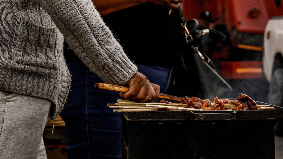
Namibia etiquette guide: greetings, tipping, dining kapana, and dress codes for respectful travel in Windhoek.
 News & Updates
Namibia in September 2026: what travelers should know now
Namibia travel briefing for September 2026: weather, DITC festival, visa updates, and Kapana tips in Windhoek.
 News & Updates
Namibia in August 2026: what travelers should know now
Namibia in August 2026: Heroes' Day closures, airport fuel shortage updates, peak season prices, kapana, and practical Windhoek travel tips for this week.
Getting around Windhoek: metros, taxis and passes
How locals really move around Windhoek, Namibia: shared taxis, apps, trains, walking tips, roadworks, and fares. Practical, from a resident host.
Southern Africa
 South Africa
South Africa Travel Podcast with Sipho Ndlovu
The Cape of Good Hope, the southwestern-most point of the African continent, anchors a coastline where the cold Atlantic and warmer Indian…
 Botswana
Botswana Travel Podcast with Kabelo Molefe
The Kalahari Desert covers about 70 per cent of Botswana, while the Okavango Delta brings considerable biodiversity to the country's otherwise semiarid…