

Ecuador Travel Podcast with Sebastián Andrade
Hosted by Sebastián Andrade — a new episode every day from Ecuador.
Travelling in Ecuador means moving between coastal plains, Andean highlands and Amazonian jungle lowlands, each with its own climate and rhythm. This podcast follows a resident’s approach: living somewhere long enough to learn it, then moving somewhere connected to it. That slow way of travel reveals how the country actually fits together.
Sebastián’s route covers the highland capital of Quito, the coastal port of Guayaquil, Cotopaxi’s high-altitude slopes and the sparsely populated jungle of the oriente. Each place offers a different relationship to the land, and none can be understood in isolation. He stays long enough to see how they connect.
Episodes track the turning of the year: the cooler dry highland months, the coastal wet season, and the jungle’s steady humidity. Sebastián returns to places he has already visited, so the listener hears a country accreting layers rather than a checklist of sights. This is travel as residency, with all the repetition and discovery that entails.
Recent episodes
Things to do in Ecuador
 The Best Extreme Canyoning -Cashaurco in -Banos Ecuador
 ATV Rental per hour
 Rafting Tour
 Canyoning in Casahurco from Baños
 3 Hours Local Food Tour in Quito
 Quito Private Tour: Old Town, Half the World and Cable Car
 Day rafting experience from Tena with lunch
 Mindo Cloud Forest Guided Private Tour with Three Fees included
Plan your trip to Ecuador
Getting around
Staying connected
Ecuador at a glance
Ecuador in depth
Reference data on the country — geography, people, history, economy and transport.
Geography and climate
Location
Western South America, bordering the Pacific Ocean at the Equator, between Colombia and Peru
Terrain
Coastal plain (costa), inter-Andean central highlands (sierra), and flat to rolling eastern jungle (oriente)
Climate
Tropical along coast, becoming cooler inland at higher elevations; tropical in Amazonian jungle lowlands
Elevation
- Highest point
- Chimborazo 6,267
- Lowest point
- Pacific Ocean 0 m
- Mean elevation
- 1,117 m
Area
- Total
- 283,561 sq km
- Land
- 276,841 sq km
- Water
- 6,720 sq km
Size comparison
Slightly smaller than Nevada
Coastline
2,237 km
Land borders
- Total
- 2,237 km
- Border countries
- Colombia 708 km; Peru 1529 km
Natural resources
Petroleum, fish, timber, hydropower
Land use
- Agricultural land
- 21.5% (2023 est.)
- Arable land
- 4.1% (2023 est.)
- Permanent crops
- 5.6% (2023 est.)
- Permanent pasture
- 11.8% (2023 est.)
- Forest
- 49.8% (2023 est.)
- Other
- 28.6% (2023 est.)
Natural hazards
Frequent earthquakes; landslides; volcanic activity; floods; periodic droughts
Volcanism: volcanic activity concentrated along the Andes Mountains; Sangay (5,230 m) is mainland Ecuador's most active volcano; other historically active volcanoes in the Andes include Antisana, Cayambe, Chacana, Cotopaxi, Guagua Pichincha, Reventador, Sumaco, and Tungurahua; Fernandina (1,476 m), a shield volcano, is the most active of the many Galapagos volcanoes; other historically active Galapagos volcanoes include Wolf, Sierra Negra, Cerro Azul, Pinta, Marchena, and Santiago
Note
Cotopaxi in the Andes is highest active volcano in world
People and society
Population
- Total
- 18,479,841 (2025 est.)
- Male
- 9,097,614
- Female
- 9,382,227
Nationality
- Noun
- Ecuadorian(s)
- Adjective
- Ecuadorian
Ethnic groups
Mestizo (mixed Indigenous and White) 77.5%, Montubio 7.7%, Indigenous 7.7%, White 2.2%, Afroecuadorian 2%, Mulatto 1.4%, Black 1.3%, other 0.1% (2022 est.)
Languages
- Languages
- Spanish (Castilian; official) 98.6%, indigenous 3.9% (Quechua 3.2%, other indigenous 0.7%), foreign 2.8%, other 0.6% (includes Ecuadorian sign language) (2022 est.)
- Major-language sample(s)
- La Libreta Informativa del Mundo, la fuente indispensable de información básica. (Spanish)
Religions
Roman Catholic 68.2%, Protestant 19% (Evangelical 18.3%, Adventist 0.6%, other Protestant 0.2%), Jehovah's Witness 1.4%, other 2.3%, none 8.2% don't know/no response 1% (2023 est.)
Median age
- Total
- 28.2 years (2025 est.)
- Male
- 27 years
- Female
- 28.9 years
Life expectancy
- Total population
- 74.9 years (2024 est.)
- Male
- 69.7 years
- Female
- 80.4 years
Urbanisation
- Urban population
- 64.8% of total population (2023)
- Rate of urbanization
- 1.62% annual rate of change (2020-25 est.)
Where people live
Nearly half of the population is concentrated in the interior, with large concentrations also found along the western coastal strip; the rainforests of the east remain sparsely populated
Largest cities
3.142 million Guayaquil, 1.957 million QUITO (capital) (2023)
Background and government
Background
What is now Ecuador formed part of the northern Inca Empire until the Spanish conquest in 1533. Quito -- the traditional name for the area -- became a seat of Spanish colonial government in 1563 and part of the Viceroyalty of New Granada in 1717. The territories of the Viceroyalty -- New Granada (Colombia), Venezuela, and Quito -- gained their independence between 1819 and 1822 and formed a federation known as Gran Colombia. When Quito withdrew to become an independent republic in 1830, the traditional name was changed to the "Republic of the Equator." Between 1904 and 1942, Ecuador lost territories in a series of conflicts with its neighbors. A border war with Peru that flared in 1995 was resolved in 1999. Although Ecuador has had nearly 50 years of civilian governance, the period has been marked by political instability.
Government
Presidential republic
Capital
Quito
Time zone
UTC-5 (same time as Washington, DC, during Standard Time)
Local name
República del Ecuador
Independence
24 May 1822 (from Spain)
National day
Independence Day (independence of Quito), 10 August (1809)
Economy and cost of living
Overview
Highly informal South American economy; USD currency user; major banana exporter; hard hit by COVID-19; macroeconomic fragility from oil dependency; successful debt restructuring; China funding budget deficits; social unrest hampering economic activity
GDP per capita
- Real GDP per capita 2024
- $13,900 (2024 est.)
- Real GDP per capita 2023
- $14,300 (2023 est.)
- Real GDP per capita 2022
- $14,200 (2022 est.)
Inflation
- Inflation rate (consumer prices) 2024
- 1.5% (2024 est.)
- Inflation rate (consumer prices) 2023
- 2.2% (2023 est.)
- Inflation rate (consumer prices) 2022
- 3.5% (2022 est.)
Unemployment
- Unemployment rate 2024
- 4.8% (2024 est.)
- Unemployment rate 2023
- 3.6% (2023 est.)
- Unemployment rate 2022
- 3.8% (2022 est.)
Exchange rate
The US dollar became Ecuador's currency in 2001
Main industries
Petroleum, food processing, textiles, wood products, chemicals
Agriculture
Bananas, sugarcane, milk, oil palm fruit, maize, rice, plantains, chicken, pineapples, cocoa beans (2023)
Transport and connectivity
Airports
317 (2025)
Railways
- Total
- 965 km (2022)
- Narrow gauge
- 965 km (2022) 1.067-m gauge
Ports
- Total ports
- 6 (2024)
- Large
- 0
- Medium
- 0
- Small
- 2
- Very small
- 4
- Ports with oil terminals
- 5
- Key ports
- Esmeraldas, Guayaquil, La Libertad, Manta, Puerto Bolivar, Puerto Maritimo de Guayaquil
Internet domain
.ec
Internet users
Percent of population 77% (2024 est.)
Mobile subscriptions
- Total subscriptions
- 18.4 million (2024 est.)
- Subscriptions per 100 inhabitants
- 102 (2024 est.)
Environment
Environmental issues
Deforestation; soil erosion; desertification; water pollution; pollution from oil production wastes in areas of the Amazon Basin and Galapagos Islands
Fresh water
442.4 billion cubic meters (2022 est.)
UNESCO Global Geoparks
- Total global geoparks and regional networks
- 3 (2025)
- Global geoparks and regional networks
- Imbabura: Napo Sumaco; Tungurahua (2025)
Country reference figures are periodically revised. Check anything time-sensitive or safety-critical against an official source before you travel.
Ecuador travel guides
 News & Updates
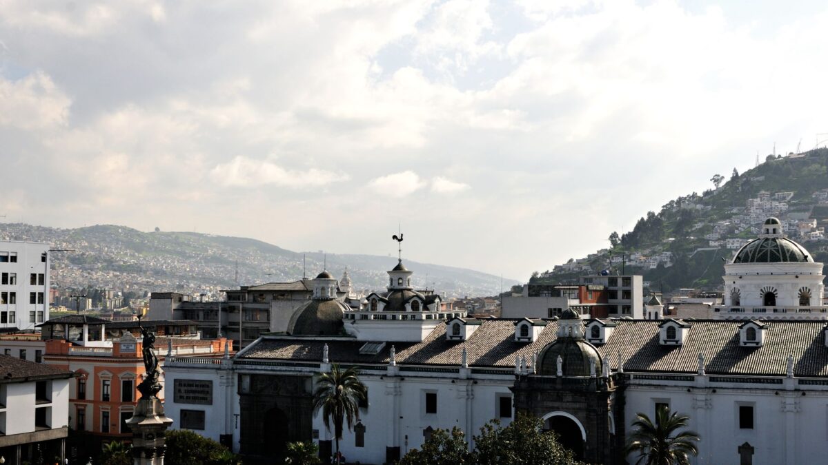
Ecuador in September 2026: what travelers should know now
Ecuador travel briefing Sept 2026: Weather, security updates, festivals & transport changes in Quito.
 Travel Tips
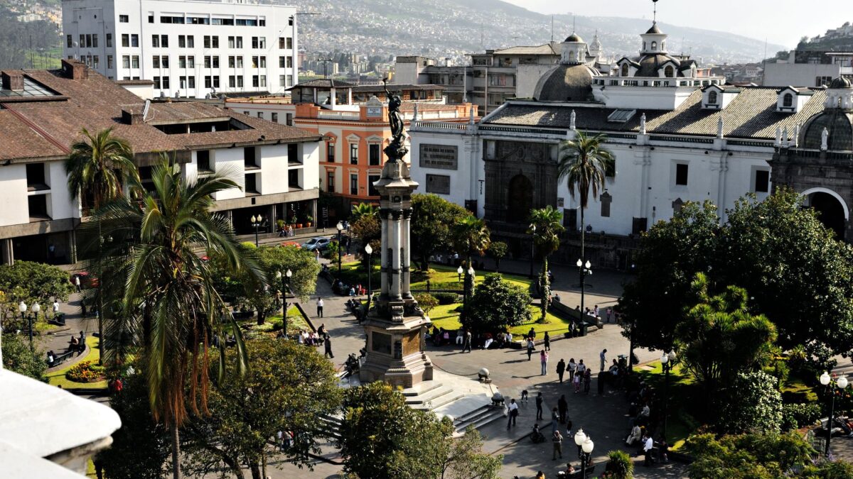
A first-timer’s guide to Ecuador
Your practical guide to visiting Ecuador's Quito: best times to go, metro tips, safe neighborhoods, and real local costs for a stress-free Andean adventure.
 Getting Around
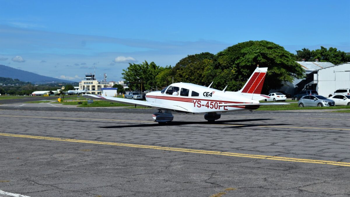
From the airport into Quito: every option and what it costs
Real fares and honest advice for getting from Mariscal Sucre Airport into Quito: buses, taxis, private transfers, and what the Ruta Viva roadworks mean…
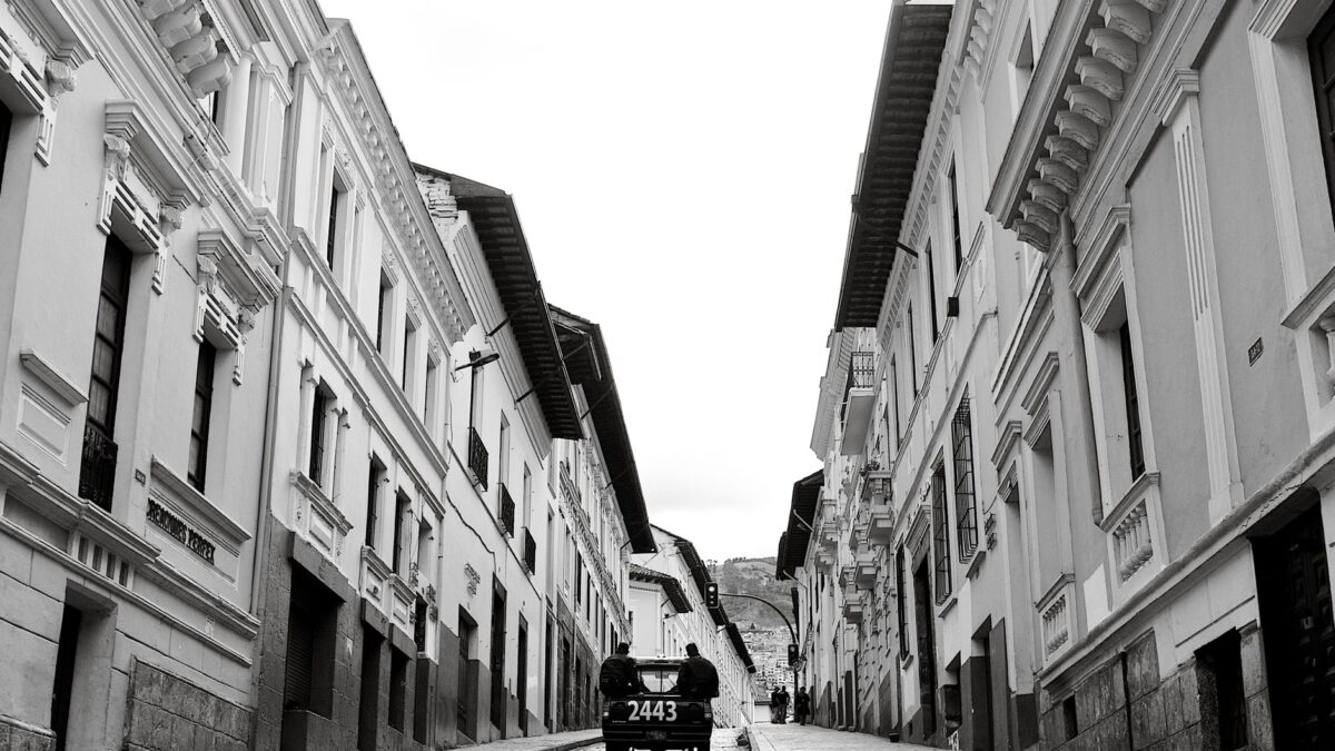 News & Updates
Ecuador in August 2026: what travelers should know now
Quito in August 2026: Quito Blues Festival is on, Ruta Viva roadworks are causing delays, and windy dry-season weather shapes your packing list. Local…
South America
 Brazil
Brazil Travel Podcast with Rafael Costa
The Pantanal, the world's largest tropical wetland, spreads across west central Brazil, a seasonal floodplain that rewards slow, repeated visits.
 Argentina
Argentina Travel Podcast with Camila Duarte
The Pampas, Argentina's rich plains in the northern half, feed the country's cattle and wheat; Buenos Aires, home to a third of…
 Peru
PeruPeru Travel Podcast with Diego Quispe
The Andean sierra holds roughly half of Peru's population, and Lago Titicaca, the world's highest navigable lake, is shared with Bolivia.
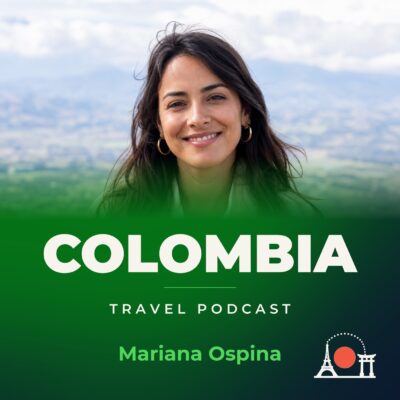 Colombia
Colombia Travel Podcast with Mariana Ospina
The llanos make up roughly 60% of Colombia, a vast grassland sparsely populated while most people live in the north and west.