

Chile Travel Podcast with Tomás Fuentes
Hosted by Tomás Fuentes — a new episode every day from Chile.
Chile Travel Podcast is a resident’s guide to travelling through a country that stretches across 39 degrees of latitude. Between the Atacama Desert, the central valley, and the cool, damp south, journeys are measured in changing climates and landscapes as much as in kilometres. The show treats travel as a process of learning one place at a time.
Over the series, the host’s range includes Santiago, Valparaíso, the Atacama Desert and the Chiloé archipelago. Each episode connects one place to the next, so the listener gradually sees how Chile fits together: the Andes to the east, the coastal mountains to the west, and the central valley where most people live.
The podcast unfolds by returning to places in different seasons, letting Chile change around the listener. A valley heard about in summer is revisited after winter rains; a port town becomes familiar through repeated visits over a year. The result is a slow accumulation of knowledge, closer to how a resident comes to know a place than how a tourist passes through.
Recent episodes
Things to do in Chile
 Guided Half Day Kayak Tour with Picnic in Villa la Angostura
 Gong Bath in the Magic Forest in San Pedro de Atacama
 Villarrica Volcano Ascent
 Guided Kayak Trip on Liucura River
 Valpo in 1 day: Authentic + Famous! Semi-private walking tour & public transport
 Private Full Day Tour on Easter island "The Highlights"
 Astrophotographic tour with Andean worldview
 From Santiago to the Andes: 4x4, horseback riding, waterfall visit and barbecue
Plan your trip to Chile
Getting around
Staying connected
Chile at a glance
Chile in depth
Reference data on the country — geography, people, history, economy and transport.
Geography and climate
Location
Southern South America, bordering the South Pacific Ocean, between Argentina and Peru
Terrain
Low coastal mountains, fertile central valley, rugged Andes in east
Climate
Temperate; desert in north; Mediterranean in central region; cool and damp in south
Elevation
- Highest point
- Nevado Ojos del Salado 6,893 m (highest volcano in the world)
- Lowest point
- Pacific Ocean 0 m
- Mean elevation
- 1,871 m
Area
- Total
- 756,102 sq km
- Land
- 743,812 sq km
- Water
- 12,290 sq km
Size comparison
Slightly smaller than twice the size of Montana
Coastline
6,435 km
Land borders
- Total
- 7,801 km
- Border countries
- Argentina 6,691 km; Bolivia 942 km; Peru 168 km
Natural resources
Copper, timber, iron ore, nitrates, precious metals, molybdenum, hydropower
Land use
- Agricultural land
- 14.4% (2023 est.)
- Arable land
- 1.9% (2023 est.)
- Permanent crops
- 0.7% (2023 est.)
- Permanent pasture
- 11.8% (2023 est.)
- Forest
- 24.5% (2023 est.)
- Other
- 61.1% (2023 est.)
Natural hazards
Severe earthquakes; active volcanism; tsunamis
Volcanism: significant volcanic activity due to more than three-dozen active volcanoes along the Andes Mountains; Lascar (5,592 m), which last erupted in 2007, is the most active volcano in the northern Chilean Andes; Llaima (3,125 m) in central Chile, which last erupted in 2009, is another of the country's most active; Chaiten's 2008 eruption forced major evacuations; other notable historically active volcanoes include Cerro Hudson, Calbuco, Copahue, Guallatiri, Llullaillaco, Nevados de Chillan, Puyehue, San Pedro, and Villarrica; see note 2 under "Geography - note"
Note
Note 1: Chile is the longest country north-to-south in the world, extending across 39 degrees of latitude
Note 2: Chile is one of the countries along the Ring of Fire, which is a belt bordering the Pacific Ocean that contains about 75% of the world's volcanoes and up to 90% of the world's earthquakes
Note 3: the Atacama Desert in the north of Chile is the driest desert in the world; Ojos del Salado (6,893 m) in the Atacama Desert is the highest active volcano in the world, Chile's tallest mountain, and the second-highest in the Western Hemisphere and the Southern Hemisphere; the volcano's small crater lake is the world's highest lake at 6,390 m
People and society
Population
- Total
- 19,091,343 (2025 est.)
- Male
- 9,379,883
- Female
- 9,711,460
Nationality
- Noun
- Chilean(s)
- Adjective
- Chilean
Ethnic groups
White and non-Indigenous 88.9%, Mapuche 9.1%, Aymara 0.7%, other Indigenous groups 1% (includes Rapa Nui, Likan Antai, Quechua, Colla, Diaguita, Kawesqar, Yagan or Yamana), unspecified 0.3% (2012 est.)
Languages
- Languages
- Spanish 99.5% (official), English 10.2%, Indigenous 1% (includes Mapudungun, Aymara, Quechua, Rapa Nui), other 2.3%, unspecified 0.2% (2012 est.)
- Major-language sample(s)
- La Libreta Informativa del Mundo, la fuente indispensable de información básica. (Spanish)
Religions
Catholic 57%, none 25.7%, Evangelical or Protestant 16.2%, other Christians and traditions related to Christ 1.3%; less than 1%: Buddhist, Catholic Orthodox, Church of Jesus Christ of Latter-Day Saints, Islam, Judaism, other religions, no religion (2024)
Median age
- Total
- 38.9 years (2025 est.)
- Male
- 35.8 years
- Female
- 38.2 years
Life expectancy
- Total population
- 80.3 years (2024 est.)
- Male
- 77.3 years
- Female
- 83.3 years
Urbanisation
- Urban population
- 88% of total population (2023)
- Rate of urbanization
- 0.78% annual rate of change (2020-25 est.)
Where people live
90% of the population is located in the middle third of the country around the capital of Santiago; the far north, including the Atacama Desert, and the extreme south are relatively underpopulated
Largest cities
6.903 million SANTIAGO (capital), 1.009 million Valparaiso, 912,000 Concepcion (2023)
Background and government
Background
Indigenous groups inhabited central and southern Chile for several thousand years, living in mixed pastoralist and settled communities. The Inca then ruled the north of the country for nearly a century prior to the arrival of the Spanish in the 16th century. In 1541, the Spanish established the Captaincy General of Chile, which lasted until Chile declared its independence in 1810. The subsequent struggle with the Spanish became tied to other South American independence conflicts, with a decisive victory not being achieved until 1818. In the War of the Pacific (1879-83), Chile defeated Peru and Bolivia to win its current northernmost regions. By the 1880s, the Chilean central government cemented its control over the central and southern regions inhabited by Mapuche Indigenous peoples. Between 1891 and 1973, a series of elected governments succeeded each other until the Marxist government of Salvador ALLENDE was overthrown in 1973 in a military coup led by General Augusto PINOCHET, who ruled until a democratically elected president was inaugurated in 1990. Economic reforms that were maintained consistently since the 1980s contributed to steady growth, reduced poverty rates by over half, and helped secure the country's commitment to democratic and representative government. Chile has increasingly assumed regional and international leadership roles befitting its status as a stable, democratic nation.
Government
Presidential republic
Capital
Santiago; note - Valparaiso is the seat of the national legislature
Time zone
UTC-3 (2 hours ahead of Washington, DC, during Standard Time)
Local name
República de Chile
Independence
18 September 1810 (from Spain)
National day
Independence Day, 18 September (1810)
Economy and cost of living
Overview
Export-driven economy; leading copper producer; though hit by COVID-19, fairly quick rebound from increased liquidity and rapid vaccine rollouts; decreasing poverty but still lingering inequality; public debt rising but still manageable; recent political violence has had negative economic consequences
GDP per capita
- Real GDP per capita 2024
- $30,200 (2024 est.)
- Real GDP per capita 2023
- $29,600 (2023 est.)
- Real GDP per capita 2022
- $29,600 (2022 est.)
Inflation
- Inflation rate (consumer prices) 2024
- 4.3% (2024 est.)
- Inflation rate (consumer prices) 2023
- 7.6% (2023 est.)
- Inflation rate (consumer prices) 2022
- 11.6% (2022 est.)
Unemployment
- Unemployment rate 2024
- 9.1% (2024 est.)
- Unemployment rate 2023
- 9.1% (2023 est.)
- Unemployment rate 2022
- 8.3% (2022 est.)
Exchange rate
- Currency
- Chilean pesos (CLP) per US dollar -
- Exchange rates 2024
- 943.572 (2024 est.)
- Exchange rates 2023
- 840.067 (2023 est.)
- Exchange rates 2022
- 873.314 (2022 est.)
- Exchange rates 2021
- 758.955 (2021 est.)
- Exchange rates 2020
- 792.727 (2020 est.)
Main industries
Copper, lithium, other minerals, foodstuffs, fish processing, iron and steel, wood and wood products, transport equipment, cement, textiles
Agriculture
Grapes, milk, apples, wheat, tomatoes, potatoes, chicken, maize, sugar beets, pork (2023)
Transport and connectivity
Airports
379 (2025)
Railways
- Total
- 7,281.5 km (2014)
- Narrow gauge
- 3,853.5 km (2014) 1.000-m gauge
- Broad gauge
- 3,428 km (2014) 1.676-m gauge (1,691 km electrified)
Ports
- Total ports
- 39 (2024)
- Large
- 0
- Medium
- 2
- Small
- 10
- Very small
- 27
- Ports with oil terminals
- 25
- Key ports
- Antofagasta, Bahia de Valdivia, Bahia de Valparaiso, Coronel, Iquique, Mejillones, Puerto Montt, Puerto San Antonio, Rada de Arica, Rada Punta Arenas, Talcahuano, Tocopilla
Internet domain
.cl
Internet users
Percent of population 95% (2023 est.)
Mobile subscriptions
- Total subscriptions
- 26.2 million (2024 est.)
- Subscriptions per 100 inhabitants
- 133 (2024 est.)
Environment
Environmental issues
Air pollution from industrial and vehicle emissions; water pollution from raw sewage; noise pollution; improper garbage disposal; soil degradation; widespread deforestation; pollution and ecosystem degradation from mining; wildlife conservation
Fresh water
923.06 billion cubic meters (2022 est.)
UNESCO Global Geoparks
- Total global geoparks and regional networks
- 1
- Global geoparks and regional networks
- Kutralkura (2023)
Country reference figures are periodically revised. Check anything time-sensitive or safety-critical against an official source before you travel.
Chile travel guides
 Getting Around
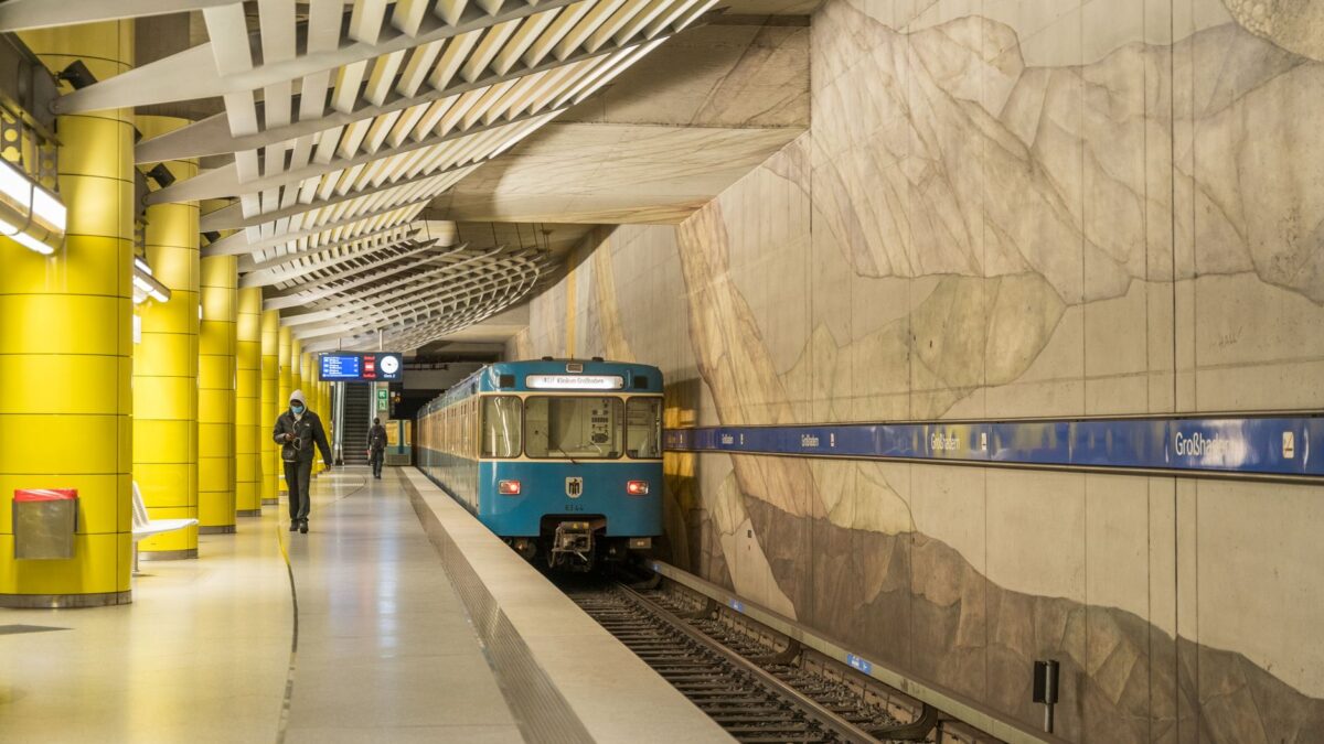
Getting around Santiago: metros, taxis and passes
A local's guide to getting around Santiago: metro fares, bip! cards, safe neighborhoods, and taxi tips for 2026.
 Costs & Money
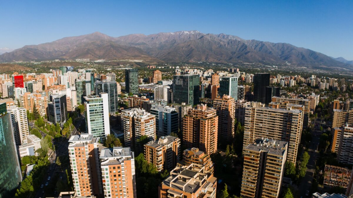
A week in Santiago on a mid-range budget
Plan a week in Santiago, Chile on a mid-range budget: real costs for hotels, meals, transit, museums, and day trips in this Andean capital.
 Living Abroad
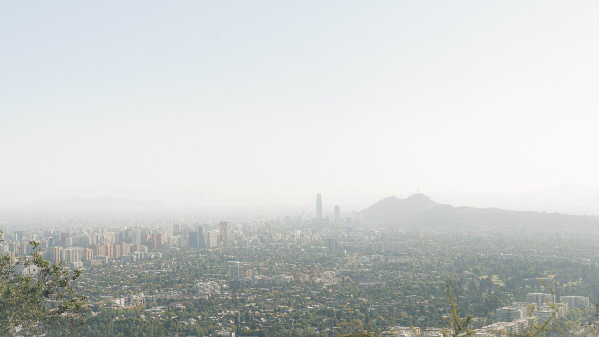
Moving to Chile: visas, banking and SIM cards
Practical first-week guide for moving to Santiago, Chile: visas via SERMIG, opening a BancoEstado CuentaRUT, getting a prepaid SIM, Bip! card, and registering your…
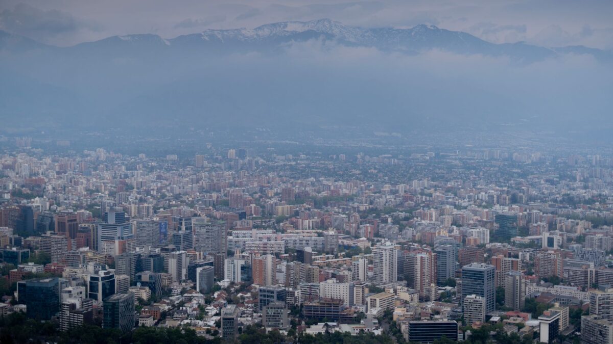 News & Updates
Chile in August 2026: what travelers should know now
Chile in August 2026: winter weather, Assumption Day, Día del Rock, SANFIC, metro disruptions, prices, and tips for Santiago travelers.
South America
 Brazil
Brazil Travel Podcast with Rafael Costa
The Pantanal, the world's largest tropical wetland, spreads across west central Brazil, a seasonal floodplain that rewards slow, repeated visits.
 Argentina
Argentina Travel Podcast with Camila Duarte
The Pampas, Argentina's rich plains in the northern half, feed the country's cattle and wheat; Buenos Aires, home to a third of…
 Peru
PeruPeru Travel Podcast with Diego Quispe
The Andean sierra holds roughly half of Peru's population, and Lago Titicaca, the world's highest navigable lake, is shared with Bolivia.
 Colombia
Colombia Travel Podcast with Mariana Ospina
The llanos make up roughly 60% of Colombia, a vast grassland sparsely populated while most people live in the north and west.