


Guatemala Travel Podcast with Ixchel Morales
Hosted by Ixchel Morales — a new episode every day from Guatemala.
Guatemala Travel Podcast with Ixchel Morales follows travel as a resident would live it: arriving, unpacking, staying long enough to learn the place. The country’s two east-west mountain chains make the highlands cool, the Pacific coast hot, and the Peten lowlands humid. Moving through Guatemala means navigating that vertical geography.
Across the series, Ixchel Morales moves between Guatemala City, the capital; Antigua, the colonial town; Lake Atitlan’s highland villages; and the less-visited western town of Quetzaltenango. She also travels east to Livingston on the Caribbean coast and later crosses into the Peten lowlands around Tikal and the Maya ruins.
Episodes follow a slower rhythm, tied to the landscape’s two seasons. The rainy season fills the highlands with cloud and green; the dry season shrinks rivers and turns the Peten dusty. The host returns to places she first visited months earlier, so the show accumulates knowledge the way a long stay does.
Recent episodes
Things to do in Guatemala
 Guatemalan Cooking Class & Market Tour
 Coffee Tour Adventure Antigua Guatemala
 Private Ground Transfer From Antigua To Guatemala City Airport
 Antigua Coffee Tour by Local Producers
 Experience: Organic Coffee, Avocados, Honey & More!
 Tikal Full Day with Dedicated Exploration of the Archaeological Monuments.
 Street Food Tour Around Antigua
 4-Hour Bike Tour Guatemala City
Plan your trip to Guatemala
Getting around
Staying connected
Guatemala at a glance
Guatemala in depth
Reference data on the country — geography, people, history, economy and transport.
Geography and climate
Location
Central America, bordering the North Pacific Ocean, between El Salvador and Mexico, and bordering the Gulf of Honduras (Caribbean Sea) between Honduras and Belize
Terrain
Two east-west trending mountain chains divide the country into three regions: the mountainous highlands, the Pacific coast south of mountains, and the vast northern Peten lowlands
Climate
Tropical; hot, humid in lowlands; cooler in highlands
Elevation
- Highest point
- Volcan Tajumulco (highest point in Central America) 4,220 m
- Lowest point
- Pacific Ocean 0 m
- Mean elevation
- 759 m
Area
- Total
- 108,889 sq km
- Land
- 107,159 sq km
- Water
- 1,730 sq km
Size comparison
Slightly smaller than Pennsylvania
Coastline
400 km
Land borders
- Total
- 1,667 km
- Border countries
- Belize 266 km; El Salvador 199 km; Honduras 244 km; Mexico 958 km
Natural resources
Petroleum, nickel, rare woods, fish, chicle, hydropower
Land use
- Agricultural land
- 43% (2023 est.)
- Arable land
- 14.5% (2023 est.)
- Permanent crops
- 11% (2023 est.)
- Permanent pasture
- 17.5% (2023 est.)
- Forest
- 33.2% (2023 est.)
- Other
- 23.7% (2023 est.)
Natural hazards
Numerous volcanoes in mountains, with occasional violent earthquakes; Caribbean coast extremely susceptible to hurricanes and other tropical storms
Volcanism: significant volcanic activity in the Sierra Madre range; Santa Maria (3,772 m) has been deemed a Decade Volcano by the International Association of Volcanology and Chemistry of the Earth's Interior, worthy of study due to its explosive history and close proximity to human populations; Pacaya (2,552 m) is one of the country's most active volcanoes, with frequent eruptions since 1965; other historically active volcanoes include Acatenango, Almolonga, Atitlan, Fuego, and Tacana; see note 2 under "Geography - note"
Note
Note 1: despite having both eastern and western coastlines (Caribbean Sea and Pacific Ocean), there are no natural harbors on the west coast
Note 2: Guatemala is one of the countries along the Ring of Fire, which is a belt bordering the Pacific Ocean that contains about 75% of the world's volcanoes and up to 90% of the world's earthquakes
People and society
Population
- Total
- 18,255,216 (2024 est.)
- Male
- 9,050,684
- Female
- 9,204,532
Nationality
- Noun
- Guatemalan(s)
- Adjective
- Guatemalan
Ethnic groups
Mestizo (mixed Indigenous-Spanish - in local Spanish called Ladino) 56%, Maya 41.7%, Xinca (Indigenous, non-Maya) 1.8%, African descent 0.2%, Garifuna (mixed West and Central African, Island Carib, and Arawak) 0.1%, foreign 0.2% (2018 est.)
Languages
- Languages
- Spanish (official) 69.9%, Maya languages 29.7% (Q'eqchi' 8.3%, K'iche 7.8%, Mam 4.4%, Kaqchikel 3%, Q'anjob'al 1.2%, Poqomchi' 1%, other 4%), other 0.4% (includes Xinca and Garifuna) (2018 est.)
- Major-language sample(s)
- La Libreta Informativa del Mundo, la fuente indispensable de información básica. (Spanish)
Religions
Evangelical 45.7%, Roman Catholic 42.4%, none 11%, unspecified 0.9% (2023 est.)
Median age
- Total
- 26.7 years (2025 est.)
- Male
- 24.2 years
- Female
- 25.4 years
Life expectancy
- Total population
- 73.5 years (2024 est.)
- Male
- 71.5 years
- Female
- 75.6 years
Urbanisation
- Urban population
- 53.1% of total population (2023)
- Rate of urbanization
- 2.59% annual rate of change (2020-25 est.)
Where people live
The vast majority of the populace resides in the southern half of the country, particularly in the mountainous regions; more than half of the population lives in rural areas
Largest cities
3.095 million GUATEMALA CITY (capital) (2023)
Background and government
Background
The Maya civilization flourished in Guatemala and surrounding regions during the first millennium A.D. After almost three centuries as a Spanish colony, Guatemala won its independence in 1821. During the second half of the 20th century, it experienced a variety of military and civilian governments, as well as a 36-year guerrilla war. In 1996, the government signed a peace agreement formally ending the internal conflict.
Government
Presidential republic
Capital
Guatemala City
Time zone
UTC-6 (1 hour behind Washington, DC, during Standard Time)
Local name
República de Guatemala
Independence
15 September 1821 (from Spain)
National day
Independence Day, 15 September (1821)
Economy and cost of living
Overview
Developing Central American economy; steady economic growth fueled by remittances; high poverty and income inequality; limited government services, lack of employment opportunities, and frequent natural disasters impede human development efforts and drive emigration
GDP per capita
- Real GDP per capita 2024
- $12,600 (2024 est.)
- Real GDP per capita 2023
- $12,400 (2023 est.)
- Real GDP per capita 2022
- $12,100 (2022 est.)
Inflation
- Inflation rate (consumer prices) 2024
- 2.9% (2024 est.)
- Inflation rate (consumer prices) 2023
- 6.2% (2023 est.)
- Inflation rate (consumer prices) 2022
- 6.9% (2022 est.)
Unemployment
- Unemployment rate 2024
- 2.3% (2024 est.)
- Unemployment rate 2023
- 2.4% (2023 est.)
- Unemployment rate 2022
- 3.1% (2022 est.)
Exchange rate
- Currency
- Quetzales (GTQ) per US dollar -
- Exchange rates 2024
- 7.759 (2024 est.)
- Exchange rates 2023
- 7.832 (2023 est.)
- Exchange rates 2022
- 7.748 (2022 est.)
- Exchange rates 2021
- 7.734 (2021 est.)
- Exchange rates 2020
- 7.722 (2020 est.)
Main industries
Sugar, textiles and clothing, furniture, chemicals, petroleum, metals, rubber, tourism
Agriculture
Sugarcane, bananas, oil palm fruit, maize, cantaloupes/melons, potatoes, milk, tomatoes, chicken, pineapples (2023)
Transport and connectivity
Airports
58 (2025)
Railways
- Total
- 800 km (2018)
- Narrow gauge
- 800 km (2018) 0.914-m gauge
Ports
- Total ports
- 3 (2024)
- Large
- 0
- Medium
- 0
- Small
- 2
- Very small
- 1
- Ports with oil terminals
- 2
- Key ports
- Puerto Barrios, Puerto Quetzal, Santo Tomas de Castilla
Internet domain
.gt
Internet users
Percent of population 56% (2023 est.)
Mobile subscriptions
- Total subscriptions
- 20.6 million (2023 est.)
- Subscriptions per 100 inhabitants
- 115 (2022 est.)
Environment
Environmental issues
Deforestation in the Peten rainforest; soil erosion; water pollution
Fresh water
127.91 billion cubic meters (2022 est.)
Country reference figures are periodically revised. Check anything time-sensitive or safety-critical against an official source before you travel.
Guatemala travel guides
 Getting Around
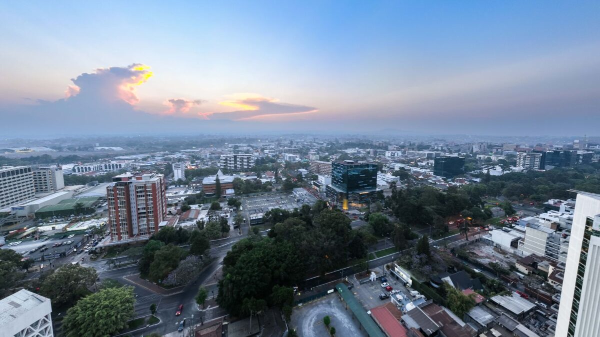
Getting around Guatemala City: metros, taxis and passes
Master Guatemala City transport: Transmetro fares, safe zones, Uber tips, and walking routes for Zona 4 & 10. Local insights for September travel.
 News & Updates
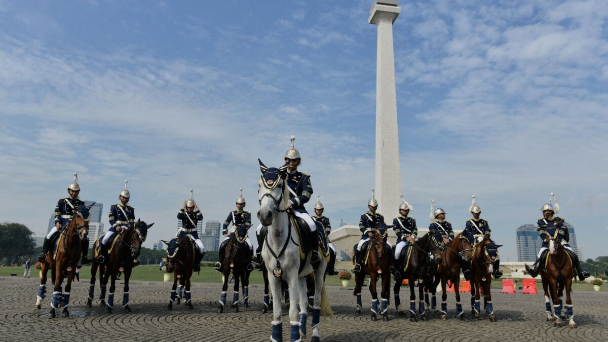
Guatemala in September 2026: what travelers should know now
Guatemala in September 2026: Weather, Independence Day traffic changes, and essential travel tips for your trip this month.
 Costs & Money
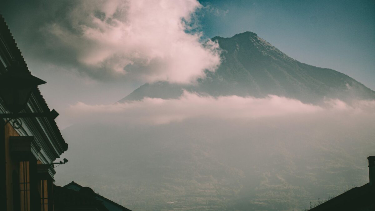
How much does a trip to Guatemala cost?
Realistic Guatemala City trip costs in quetzales: budget, mid-range, and comfortable daily totals for food, hotels, transport, and attractions. Local tips included.
 News & Updates
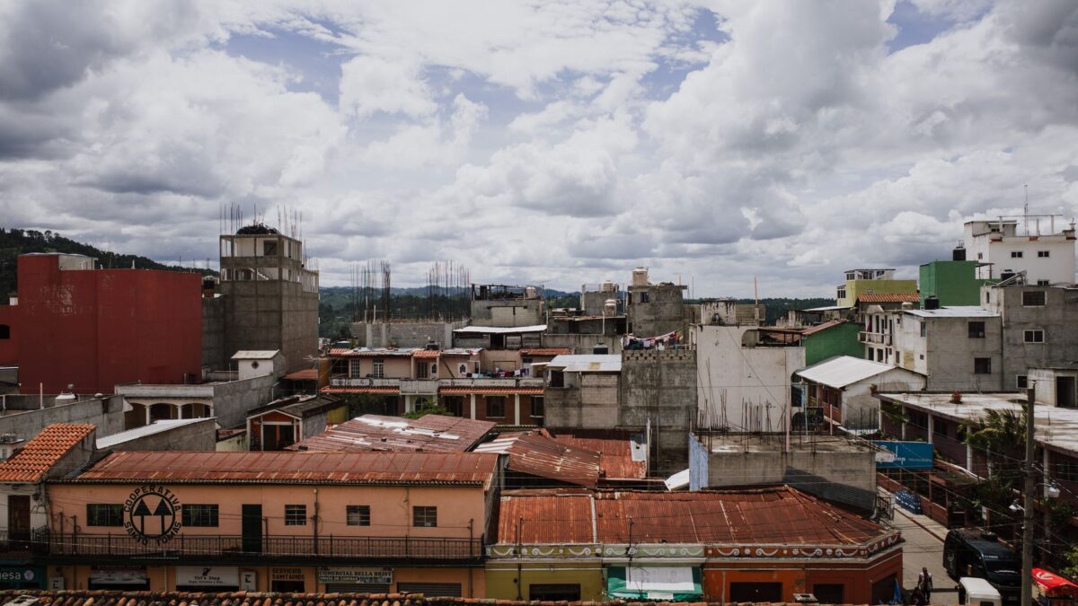
Guatemala in August 2026: what travelers should know now
Guatemala in August 2026: Jocotenango fair wraps, Fuego volcano alert, youth parade, and practical tips for travelers this month.
Central America
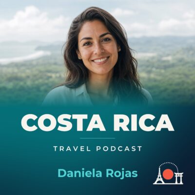 Costa Rica
Costa Rica Travel Podcast with Daniela Rojas
The Irazú volcano, one of four near San José, erupted destructively in the mid-1960s and remains part of the rugged volcanic landscape…
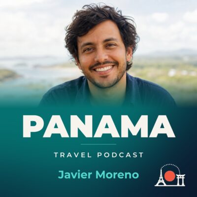 Panama
Panama Travel Podcast with Javier Moreno
The rainy season from May to January fills rivers on the interior's steep, rugged mountains, slowing travel and changing how the country…