

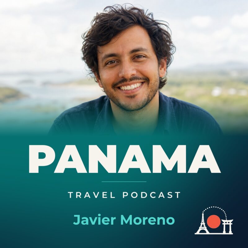
Panama Travel Podcast with Javier Moreno
Hosted by Javier Moreno — a new episode every day from Panama.
A podcast about travelling in Panama as a resident rather than a visitor, hosted by Javier Moreno. The country is a narrow land bridge between North and South America, its interior steep and rugged, its climate tropical and humid. The Panama Canal links the North Atlantic Ocean with the North Pacific Ocean, and the landscape around it shapes every journey.
The show covers a wide arc: Panama City, the densely populated lands around the Canal, David in the far west, and the sparsely inhabited Darién to the east. Javier returns to familiar places, letting the differences between city and countryside emerge over time. He notes the Spanish and Indigenous languages heard along the way.
The podcast unfolds across seasons, moving with the rainy months from May to January and the short dry season from January to May. Returning to places means noticing what changes: rivers rising in the interior mountains, coastal plains heating up, roads getting harder to travel. Knowledge accumulates slowly, as it should in a country this varied.
Recent episodes
Things to do in Panama
 Private Fishing in the Panama Canal, Gatun Lake
 Panama Canal Zone Bike Tour By Paradox Experience
 Special offer
Day End Tour: Casco Viejo, Amador Causeway & Sabroso Panama
Special offer
Day End Tour: Casco Viejo, Amador Causeway & Sabroso Panama
 Hiking Experience in Caldera Transportation Included
 Electric Bike Rental El Valle de Antón (Best Rated Activity)
 River Tubing - Fun and Nature Experience
 VIP Experience Agency
 Shuttle to Riu Playa Blanca Hotel: Round Trip or One Way
Plan your trip to Panama
Getting around
Staying connected
Panama at a glance
Panama in depth
Reference data on the country — geography, people, history, economy and transport.
Geography and climate
Location
Central America, bordering both the Caribbean Sea and the North Pacific Ocean, between Colombia and Costa Rica
Terrain
Interior mostly steep, rugged mountains with dissected, upland plains; coastal plains with rolling hills
Climate
Tropical maritime; hot, humid, cloudy; prolonged rainy season (May to January), short dry season (January to May)
Elevation
- Highest point
- Volcan Baru 3,475 m
- Lowest point
- Pacific Ocean 0 m
- Mean elevation
- 360 m
Area
- Total
- 75,420 sq km
- Land
- 74,340 sq km
- Water
- 1,080 sq km
Size comparison
Slightly smaller than South Carolina
Coastline
2,490 km
Land borders
- Total
- 687 km
- Border countries
- Colombia 339 km; Costa Rica 348 km
Natural resources
Copper, mahogany forests, shrimp, hydropower
Land use
- Agricultural land
- 29.5% (2023 est.)
- Arable land
- 7.6% (2023 est.)
- Permanent crops
- 1.6% (2023 est.)
- Permanent pasture
- 20.3% (2023 est.)
- Forest
- 62.3% (2023 est.)
- Other
- 8.2% (2023 est.)
Natural hazards
Occasional severe storms and forest fires in the Darien area
Note
Strategic location on eastern end of isthmus forming land bridge that connects North and South America; controls the Panama Canal, which links the North Atlantic Ocean with the North Pacific Ocean via the Caribbean Sea
People and society
Population
- Total
- 4,536,008 (2025 est.)
- Male
- 2,284,105
- Female
- 2,251,903
Nationality
- Noun
- Panamanian(s)
- Adjective
- Panamanian
Ethnic groups
Mestizo (mixed Indigenous and White) 65%, Indigenous 12.3% (Ngabe 7.6%, Kuna 2.4%, Embera 0.9%, Bugle 0.8%, other 0.4%, unspecified 0.2%), Black or African descent 9.2%, Mulatto 6.8%, White 6.7% (2010 est.)
Languages
- Languages
- Spanish (official), Indigenous languages (including Ngabere (Guaymi), Buglere, Kuna, Embera, Wounaan, Naso (Teribe), and Bri Bri), Panamanian English Creole (a mixture of English and Spanish with elements of Ngabere, also known as Guari Guari and Colon Creole), English, Chinese (Yue and Hakka), Arabic, French Creole, other (Yiddish, Hebrew, Korean, Japanese)
- Major-language sample(s)
- La Libreta Informativa del Mundo, la fuente indispensable de información básica. (Spanish)
Religions
Evangelical 55%, Roman Catholic 33.4%, none 10.1%, unspecified 1.5% (2023 est.)
Median age
- Total
- 31.7 years (2025 est.)
- Male
- 31 years
- Female
- 31.9 years
Life expectancy
- Total population
- 79.2 years (2024 est.)
- Male
- 76.4 years
- Female
- 82.2 years
Urbanisation
- Urban population
- 69.5% of total population (2023)
- Rate of urbanization
- 1.92% annual rate of change (2020-25 est.)
Where people live
Population is concentrated towards the center of the country, particularly around the Canal, but a sizeable segment of the populace also lives in the far west around David; the eastern third of the country is sparsely inhabited
Largest cities
1.977 million PANAMA CITY (capital) (2023)
Background and government
Background
Explored and settled by the Spanish in the 16th century, Panama broke with Spain in 1821 and joined a union of Colombia, Ecuador, and Venezuela that was named the Republic of Gran Colombia. When the union dissolved in 1830, Panama remained part of Colombia. With US backing, Panama seceded from Colombia in 1903 and promptly signed a treaty with the US allowing for the construction of a canal and US sovereignty over a strip of land known as the Panama Canal Zone on either side of the structure. The US Army Corps of Engineers built the Panama Canal between 1904 and 1914. In 1977, an agreement was signed for the complete transfer of the Canal from the US to Panama by the end of the century. Certain portions of the Zone and increasing responsibility over the Canal were turned over in the subsequent decades. With US help, Panamanian dictator Manuel NORIEGA was deposed in 1989. The entire Panama Canal, the area supporting the Canal, and remaining US military bases were transferred to Panama by the end of 1999. An ambitious expansion project to more than double the Canal's capacity by allowing for more Canal transits and larger ships was carried out between 2007 and 2016.
Government
Presidential republic
Capital
Panama City
Time zone
UTC-5 (same time as Washington, DC, during Standard Time)
Local name
República de Panama
Independence
3 November 1903 (from Colombia); 28 November 1821 (from Spain)
National day
Independence Day (Separation Day), 3 November (1903)
Economy and cost of living
Overview
Upper middle-income Central American economy; increasing Chinese trade; US dollar user; canal expansion fueling broader infrastructure investment; services sector dominates economy; historic money-laundering and illegal drug hub
GDP per capita
- Real GDP per capita 2024
- $36,400 (2024 est.)
- Real GDP per capita 2023
- $35,900 (2023 est.)
- Real GDP per capita 2022
- $33,800 (2022 est.)
Inflation
- Inflation rate (consumer prices) 2024
- 0.7% (2024 est.)
- Inflation rate (consumer prices) 2023
- 1.5% (2023 est.)
- Inflation rate (consumer prices) 2022
- 2.9% (2022 est.)
Unemployment
- Unemployment rate 2024
- 6.6% (2024 est.)
- Unemployment rate 2023
- 6.6% (2023 est.)
- Unemployment rate 2022
- 8.1% (2022 est.)
Exchange rate
- Currency
- Balboas (PAB) per US dollar -
- Exchange rates 2024
- 1 (2024 est.)
- Exchange rates 2023
- 1 (2023 est.)
- Exchange rates 2022
- 1 (2022 est.)
- Exchange rates 2021
- 1 (2021 est.)
- Exchange rates 2020
- 1 (2020 est.)
Main industries
Construction, brewing, cement and other construction materials, sugar milling
Agriculture
Sugarcane, rice, bananas, oranges, oil palm fruit, chicken, plantains, maize, milk, pineapples (2023)
Transport and connectivity
Airports
77 (2025)
Railways
- Total
- 77 km (2014)
- Standard gauge
- 77 km (2014) 1.435-m gauge
Ports
- Total ports
- 12 (2024)
- Large
- 0
- Medium
- 3
- Small
- 3
- Very small
- 5
- Size unknown
- 1
- Ports with oil terminals
- 5
- Key ports
- Bahia de las Minas, Balboa, Pedregal, Puerto Armuelles, Puerto Colon, Puerto Cristobal
Internet domain
.pa
Internet users
Percent of population 78% (2023 est.)
Mobile subscriptions
- Total subscriptions
- 6.98 million (2023 est.)
- Subscriptions per 100 inhabitants
- 157 (2023 est.)
Environment
Environmental issues
Water pollution from agricultural runoff; deforestation of tropical rainforest; land degradation and soil erosion in Panama Canal; air pollution in urban areas; effects of mining
Fresh water
139.304 billion cubic meters (2022 est.)
Country reference figures are periodically revised. Check anything time-sensitive or safety-critical against an official source before you travel.
Panama travel guides
 Food & Drink
What to eat in Panama — and what it costs
Discover the best food in Panama City, from PAB 3 sancocho to PAB 20 dinners. Real prices, hidden gems, and honest reviews for travelers.
 Getting Around
From the airport into Panama City: every option and what it costs
Discover the best ways to get from Tocumen Airport into Panama City, with real fares for metro, bus, taxi, and private transfers. Insider tips…
 Culture & Etiquette
Panama etiquette: the dos and don’ts
Panama etiquette dos and don'ts: greetings, tipping in balboas, dining manners, dress for humidity, and local customs from Javier Moreno, your Panama City host.
 News & Updates
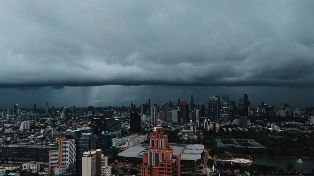
Panama in August 2026: what travelers should know now
Panama in August 2026: rainy-season tips, the International Book Fair, Metro Line 3 disruptions, and what it really costs right now.
Central America
 Costa Rica
Costa Rica Travel Podcast with Daniela Rojas
The Irazú volcano, one of four near San José, erupted destructively in the mid-1960s and remains part of the rugged volcanic landscape…
 Guatemala
Guatemala Travel Podcast with Ixchel Morales
The Pacific coast, unlike the Caribbean side, has no natural harbours, and the two mountain chains and northern Peten lowlands shape any…