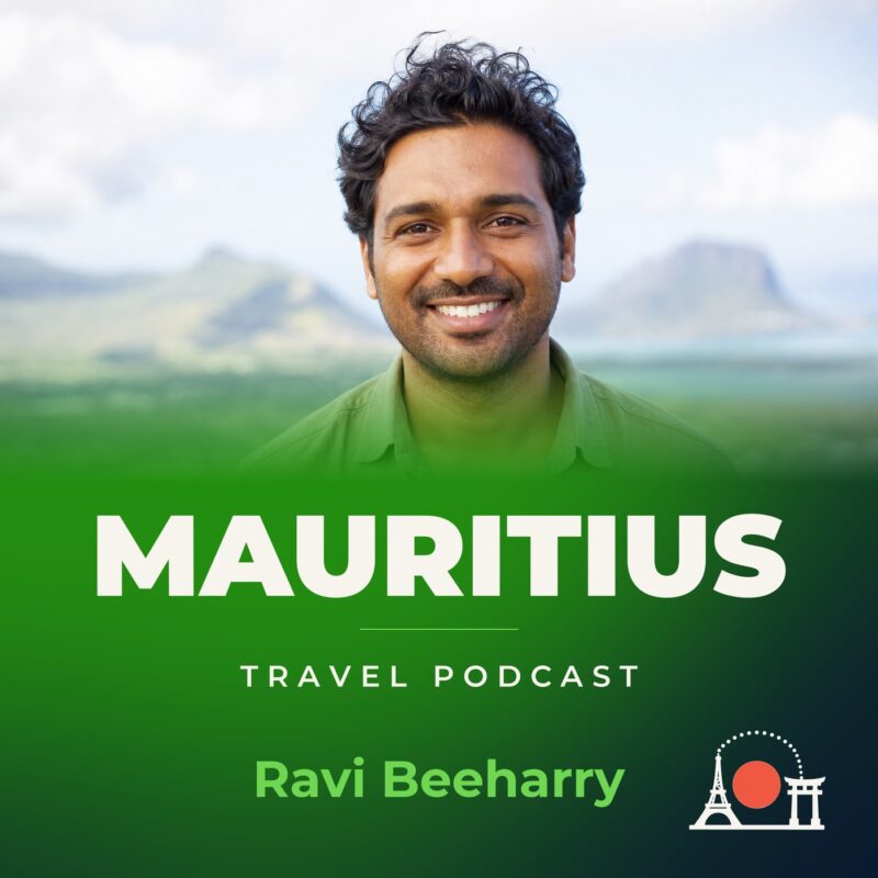
Mauritius Travel Podcast with Ravi Beeharry
Hosted by Ravi Beeharry — a new episode every day from Mauritius.
Mauritius Travel Podcast with Ravi Beeharry is a slow, place-based guide to the island. Travelling here means moving between the coastal plain, the coral-fringed shore and the central plateau, where local life is shaped by Creole, French and English in the same conversation. The podcast treats Mauritius as a country to live in, not just a beach stop.
Over time Ravi covers Port Louis, the capital, where urban density is high; Rodrigues Island, whose population is fairly evenly spread, with a slightly denser cluster on the north coast; and Black River Gorges, the forested highland park. Each place appears through its own weather and rhythm.
The show unfolds across Mauritian seasons over a couple of years. Ravi returns to places as the dry winter gives way to the hot, wet summer, watching how markets, roads and stretches of coast change. Knowing Mauritius properly becomes a matter of accumulated detail, not a checklist of sights.
Recent episodes
Things to do in Mauritius
 Tamarind Falls Canyoning Adventure
 Kayak Fishing in Mauritius
 Dog Lover's guided tour of the Happy Tails Sanctuary
 Whale Watching and Private Ocean Safari Experience in Mauritius
 Private Mauritius Tour with Guide
 Private Cooking Class in Mauritius with a Local Family
 FULL DAY TAXI ONLY to VALLÉ OR CASELA.
 Guided Sunset Kayak Tour in Mauritius
Plan your trip to Mauritius
Getting around
Staying connected
Mauritius at a glance
Mauritius in depth
Reference data on the country — geography, people, history, economy and transport.
Geography and climate
Location
Southern Africa, island in the Indian Ocean, about 800 km (500 mi) east of Madagascar
Terrain
Small coastal plain rising to discontinuous mountains encircling central plateau
Climate
Tropical, modified by southeast trade winds; warm, dry winter (May to November); hot, wet, humid summer (November to May)
Elevation
- Highest point
- Mont Piton 828 m
- Lowest point
- Indian Ocean 0 m
Area
- Total
- 2,040 sq km
- Land
- 2,030 sq km
- Water
- 10 sq km
Size comparison
Almost 11 times the size of Washington, D.C.
Coastline
177 km
Land borders
Total 0 km
Natural resources
Arable land, fish
Land use
- Agricultural land
- 43% (2023 est.)
- Arable land
- 37.6% (2023 est.)
- Permanent crops
- 2% (2023 est.)
- Permanent pasture
- 3.5% (2023 est.)
- Forest
- 19.2% (2023 est.)
- Other
- 37.8% (2023 est.)
Natural hazards
Cyclones (November to April); almost completely surrounded by reefs that may pose maritime hazards
Note
The main island, from which the country derives its name, is of volcanic origin and is almost entirely surrounded by coral reefs; former home of the extinct dodo, a large flightless bird related to pigeons
People and society
Population
- Total
- 1,311,375 (2025 est.)
- Male
- 639,707
- Female
- 671,668
Nationality
- Noun
- Mauritian(s)
- Adjective
- Mauritian
Ethnic groups
Indo-Mauritian (compose approximately two thirds of the total population), Creole, Sino-Mauritian, Franco-Mauritian
Languages
Creole 86.5%, Bhojpuri 5.3%, French 4.1%, two languages 1.4%, other 2.6% (includes English, one of the two official languages of the National Assembly, which is spoken by less than 1% of the population), unspecified 0.1% (2011 est.)
Religions
Hindu 48.5%, Roman Catholic 26.3%, Muslim 17.3%, other Christian 6.4%, other 0.6%, none 0.7%, unspecified 0.1% (2011 est.)
Median age
- Total
- 40 years (2025 est.)
- Male
- 38.1 years
- Female
- 41 years
Life expectancy
- Total population
- 75.4 years (2024 est.)
- Male
- 72.6 years
- Female
- 78.4 years
Urbanisation
- Urban population
- 40.9% of total population (2023)
- Rate of urbanization
- 0.28% annual rate of change (2020-25 est.)
Where people live
Population density is one of the highest in the world; urban clusters are found throughout the main island, with a greater density in and around Port Luis; the population on Rodrigues Island is fairly evenly spread, with a slightly denser cluster on the north coast, as shown in this population distribution map
Largest cities
149,000 PORT LOUIS (capital) (2018)
Background and government
Background
Although known to Arab and European sailors since at least the early 1500s, the island of Mauritius was uninhabited until 1638 when the Dutch established a settlement named in honor of Prince Maurits van NASSAU. Their presence led to the rapid disappearance of the flightless dodo bird that has since become one of the most well-known examples of extinction in modern times. The Dutch abandoned their financially distressed settlement in 1710, although a number of formerly enslaved people remained. In 1722, the French established what would become a highly profitable settlement focused on sugar cane plantations that were reliant on the labor of enslaved people brought to Mauritius from other parts of Africa. In the 1790s, the island had a brief period of autonomous rule when plantation owners rejected French control because of laws ending slavery that were temporarily in effect during the French Revolution. Britain captured the island in 1810 as part of the Napoleonic Wars but kept most of the French administrative structure, which remains to this day in the form of the country’s legal codes and widespread use of the French Creole language. The abolition of slavery in 1835 -- later than most other British colonies -- led to increased reliance on contracted laborers from the Indian subcontinent to work on plantations. Today their descendants form the majority of the population. Mauritius remained a strategically important British naval base and later an air station, and it played a role during World War II in anti-submarine and convoy operations, as well as in the collection of signals intelligence.
Mauritius gained independence from the UK in 1968 as a Parliamentary Republic and has remained a stable democracy with regular free elections and a positive human rights record. The country also attracted considerable foreign investment and now has one of Africa's highest per capita incomes. Mauritius’ often-fractious coalition politics has been dominated by two prominent families, each of which has had father-son pairs who have been prime minister over multiple, often nonconsecutive, terms. Seewoosagur RAMGOOLAM (1968-76) was Mauritius’ first prime minister, and he was succeeded by Anerood JUGNAUTH (1982-95, 2000-03, 2014-17); his son Navin RAMGOOLAM (1995-2000, 2005-14); and Paul Raymond BERENGER (2003-05), the only non-Hindu prime minister of post-independence Mauritius. In 2017, Pravind JUGNAUTH became prime minister after his father stepped down short of completing his term, and he was elected in his own right in 2019.
Mauritius claims the French island of Tromelin and the British Chagos Archipelago (British Indian Ocean Territory). Since 2017, Mauritius has secured favorable UN General Assembly resolutions and an International Court of Justice advisory opinion relating to its sovereignty dispute with the UK.
Government
Parliamentary republic
Capital
Port Louis
Time zone
UTC+4 (9 hours ahead of Washington, DC, during Standard Time)
Local name
Republic of Mauritius
Independence
12 March 1968 (from the UK)
National day
Independence and Republic Day, 12 March (1968, 1992)
Economy and cost of living
Overview
Upper middle-income Indian Ocean island economy; diversified portfolio; investing in maritime security; strong tourism sector decimated by COVID-19; expanding in information and financial services; environmentally fragile
GDP per capita
- Real GDP per capita 2024
- $27,300 (2024 est.)
- Real GDP per capita 2023
- $26,100 (2023 est.)
- Real GDP per capita 2022
- $24,800 (2022 est.)
Inflation
- Inflation rate (consumer prices) 2024
- 3.6% (2024 est.)
- Inflation rate (consumer prices) 2023
- 7.1% (2023 est.)
- Inflation rate (consumer prices) 2022
- 10.8% (2022 est.)
Unemployment
- Unemployment rate 2024
- 5.5% (2024 est.)
- Unemployment rate 2023
- 5.6% (2023 est.)
- Unemployment rate 2022
- 6.4% (2022 est.)
Exchange rate
- Currency
- Mauritian rupees (MUR) per US dollar -
- Exchange rates 2024
- 46.415 (2024 est.)
- Exchange rates 2023
- 45.267 (2023 est.)
- Exchange rates 2022
- 44.183 (2022 est.)
- Exchange rates 2021
- 41.692 (2021 est.)
- Exchange rates 2020
- 39.347 (2020 est.)
Main industries
Food processing (largely sugar milling), textiles, clothing, mining, chemicals, metal products, transport equipment, nonelectrical machinery, tourism
Agriculture
Sugarcane, chicken, pumpkins/squash, tomatoes, eggs, potatoes, cabbages, bananas, onions, cucumbers/gherkins (2023)
Transport and connectivity
Airports
5 (2025)
Ports
- Total ports
- 2 (2024)
- Large
- 0
- Medium
- 0
- Small
- 1
- Very small
- 1
- Ports with oil terminals
- 1
- Key ports
- Port Louis, Port Mathurin
Internet domain
.mu
Internet users
Percent of population 80% (2023 est.)
Mobile subscriptions
- Total subscriptions
- 2.2 million (2024 est.)
- Subscriptions per 100 inhabitants
- 173 (2024 est.)
Environment
Environmental issues
Water pollution, degradation of coral reefs; soil erosion; wildlife preservation; solid-waste disposal
Fresh water
2.751 billion cubic meters (2022 est.)
Country reference figures are periodically revised. Check anything time-sensitive or safety-critical against an official source before you travel.
Mauritius travel guides
 Culture & Etiquette
Mauritius etiquette: the dos and don’ts
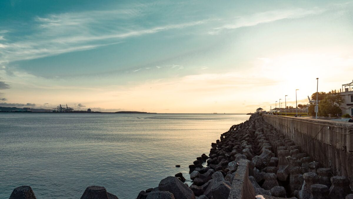
Discover Mauritius etiquette: greetings, tipping, dining manners, dress, and local customs in Port Louis. Learn how to be a considerate visitor with our guide.
 News & Updates
Mauritius in August 2026: what travelers should know now
Mauritius in August 2026: Caudan Night Run, Slamizik semi-finals, cool weather, and budget tips for Port Louis. What travelers should know now.
 Travel Tips
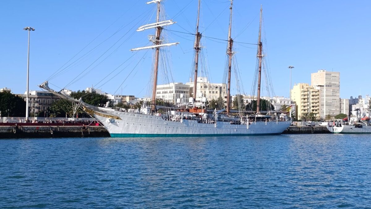
A first-timer’s guide to Mauritius
Discover when to visit Mauritius, how long to stay, getting around by Metro Express & bus, real costs in rupees, and local tips from…
East Africa
 Kenya
KenyaKenya Travel Podcast with Baraka Kimani
The Swahili coast has linked Mombasa with India, China, Persia and the Arab world since at least the 2nd century, shaping Kenya's…
 Tanzania
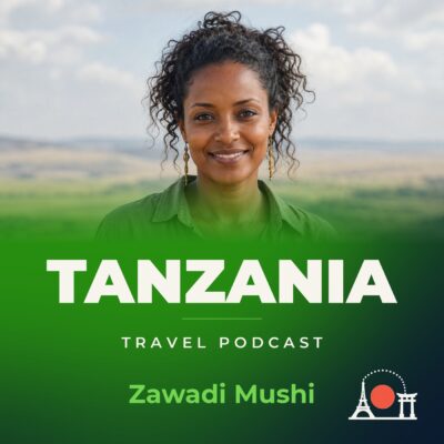
Tanzania Travel Podcast with Zawadi Mushi
The northern highlands of Tanzania contain Kilimanjaro, Africa's highest point, one of only three mountain ranges on the continent with glaciers.
 Rwanda
Rwanda Travel Podcast with Uwase Mutesi
Kinyarwanda is the universal language spoken across Rwanda's rugged grassy uplands, where most people live in the central regions and along Lake…
 Uganda
Uganda Travel Podcast with Daniel Okello
A Uganda travel show that follows the seasons from Kampala's hills to Lake Victoria's shore, with time to learn the country as…