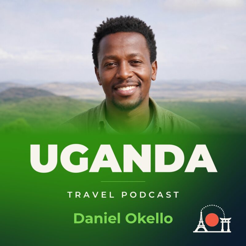
Uganda Travel Podcast with Daniel Okello
Hosted by Daniel Okello — a new episode every day from Uganda.
This podcast is about travelling in Uganda the way you would if you had months and seasons to spare. Uganda is landlocked and fertile, a plateau rimmed by mountains, with Lake Victoria along its southern edge. Most people live in the central and south, and travel follows that shape.
The host covers the country by living in it: Kampala first, then the Lake Victoria shore, then Fort Portal at the edge of the Rwenzori Mountains, and Kidepo Valley in the dry northeast. Along the way he follows the rivers, markets and footpaths that connect Uganda’s plateau.
The show unfolds across Uganda’s two dry seasons and the long rains, returning to places he has already visited to see them change. Each episode builds on the last, so by the time he leaves a town, the listener has learned its rhythms, its names and the way daily life shifts with the water.
Recent episodes
Things to do in Uganda
 Jinja day tour exploring the source of River Nile
 8-Day Classic Uganda Primates & Wildlife Tour
 Private 3 Day Gorilla Trekking Safari in Uganda
 Unforgettable 3 days Murchison falls.
 14 Days Uganda Safari Adventure, Gorilla Trekking and WildlifeTour
 Affordable 2 days Murchison Falls and Wildlife Game Viewing
 Private Whitewater Tubing in Bujagali Hydropower Plant
 Private Ugandan Food Cooking Class and Culture Experience
Plan your trip to Uganda
Getting around
Staying connected
Uganda at a glance
Uganda in depth
Reference data on the country — geography, people, history, economy and transport.
Geography and climate
Location
East-Central Africa, west of Kenya, east of the Democratic Republic of the Congo
Terrain
Mostly plateau with rim of mountains
Climate
Tropical; generally rainy with two dry seasons (December to February, June to August); semiarid in northeast
Elevation
- Highest point
- Margherita Peak on Mount Stanley 5,110 m
- Lowest point
- Albert Nile 614 m
Area
- Total
- 241,038 sq km
- Land
- 197,100 sq km
- Water
- 43,938 sq km
Size comparison
Slightly more than two times the size of Pennsylvania; slightly smaller than Oregon
Coastline
0 km (landlocked)
Land borders
- Total
- 2,729 km
- Border countries
- Democratic Republic of the Congo 877 km; Kenya 814 km; Rwanda 172 km; South Sudan 475 km; Tanzania 391 km
Natural resources
Copper, cobalt, hydropower, limestone, salt, arable land, gold
Land use
- Agricultural land
- 71.9% (2023 est.)
- Arable land
- 34.4% (2023 est.)
- Permanent crops
- 11% (2023 est.)
- Permanent pasture
- 26.5% (2023 est.)
- Forest
- 12.1% (2023 est.)
- Other
- 16% (2023 est.)
Natural hazards
Droughts; floods; earthquakes; landslides; hailstorms
Note
Landlocked; fertile, well-watered country with many lakes and rivers; Lake Victoria, the world's largest tropical lake and second-largest freshwater lake, is shared among three countries: Kenya, Tanzania, and Uganda
People and society
Population
- Total
- 50,863,850 (2025 est.)
- Male
- 24,835,513
- Female
- 26,028,337
Nationality
- Noun
- Ugandan(s)
- Adjective
- Ugandan
Ethnic groups
Baganda 16.5%, Banyankole 9.6%, Basoga 8.8%, Bakiga 7.1%, Iteso 7%, Langi 6.3%, Bagisu 4.9%, Acholi 4.4%, Lugbara 3.3%, other 32.1% (2014 est.)
Languages
English (official), Ganda or Luganda (most widely used of the Niger-Congo languages and the language used most often in the capital), other Niger-Congo languages, Nilo-Saharan languages, Swahili (official), Arabic
Religions
Protestant 45.1% (Anglican 32.0%, Pentecostal/Born Again/Evangelical 11.1%, Seventh Day Adventist 1.7%, Baptist .3%), Roman Catholic 39.3%, Muslim 13.7%, other 1.6%, none 0.2% (2014 est.)
Median age
- Total
- 16.4 years (2025 est.)
- Male
- 15.5 years
- Female
- 17.1 years
Life expectancy
- Total population
- 69.7 years (2024 est.)
- Male
- 67.5 years
- Female
- 72 years
Urbanisation
- Urban population
- 26.8% of total population (2023)
- Rate of urbanization
- 5.41% annual rate of change (2020-25 est.)
Where people live
Population density is relatively high in comparison to other African nations; most of the population is concentrated in the central and southern parts of the country, particularly along the shores of Lake Victoria and Lake Albert; the northeast is least populated, as shown in this population distribution map
Largest cities
3.846 million KAMPALA (capital) (2023)
Background and government
Background
An ancient crossroads for various migrations, Uganda has as many as 65 ethnic groups that speak languages from three of Africa’s four major linguistic families. As early as 1200, fertile soils and regular rainfall in the south fostered the formation of several large, centralized kingdoms, including Buganda, from which the country derives its name. Muslim traders from Egypt reached northern Uganda in the 1820s, and Swahili merchants from the Indian Ocean coast arrived in the south by the 1840s. The area attracted the attention of British explorers seeking the source of the Nile River in the 1860s, and this influence expanded in subsequent decades with the arrival of Christian missionaries and trade agreements; Uganda was declared a British protectorate in 1894. Buganda and other southern kingdoms negotiated agreements with Britain to secure privileges and a level of autonomy that were rare during the colonial period in Africa. Uganda's colonial boundaries grouped together a wide range of ethnic groups with different political systems and cultures, and the disparities between how Britain governed southern and northern areas compounded these differences, complicating efforts to establish a cohesive independent country.
Uganda gained independence in 1962 with one of the more developed economies and one of the strongest education systems in Sub-Saharan Africa, but it descended within a few years into political turmoil and internal conflict that lasted more than two decades. In 1966, Prime Minister Milton OBOTE suspended the constitution and violently deposed President Edward MUTESA, who was also the king of Buganda. Idi AMIN seized power in 1971 through a military coup and led the country into economic ruin and rampant mass atrocities that killed as many as 500,000 civilians. AMIN’s annexation of Tanzanian territory in 1979 provoked Tanzania to invade Uganda, depose AMIN, and install a coalition government. In the aftermath, Uganda continued to experience atrocities, looting, and political instability and had four different heads of state between 1979 and 1980. OBOTE regained the presidency in 1980 through a controversial election that sparked renewed guerrilla warfare, killing as an estimated 300,000 civilians. Gen. Tito OKELLO seized power in a coup in 1985, but his rule was short-lived, with Yoweri MUSEVENI becoming president in 1986 after his insurgency captured the capital. MUSEVENI is widely credited with restoring relative stability and economic growth to Uganda but has resisted calls to leave office. In 2017, parliament removed presidential age limits, making it possible for MUSEVENI to remain in office for life.
Government
Presidential republic
Capital
Kampala
Time zone
UTC+3 (8 hours ahead of Washington, DC, during Standard Time)
Independence
9 October 1962 (from the UK)
National day
Independence Day, 9 October (1962)
Economy and cost of living
Overview
Low-income, primarily agrarian East African economy; COVID-19 hurt economic growth and poverty reduction; lower oil prices threaten prior sector investments; endemic corruption; natural resource rich; high female labor force participation but undervalued
GDP per capita
- Real GDP per capita 2024
- $2,900 (2024 est.)
- Real GDP per capita 2023
- $2,800 (2023 est.)
- Real GDP per capita 2022
- $2,700 (2022 est.)
Inflation
- Inflation rate (consumer prices) 2024
- 3.3% (2024 est.)
- Inflation rate (consumer prices) 2023
- 5.4% (2023 est.)
- Inflation rate (consumer prices) 2022
- 7.2% (2022 est.)
Unemployment
- Unemployment rate 2024
- 3% (2024 est.)
- Unemployment rate 2023
- 2.8% (2023 est.)
- Unemployment rate 2022
- 2.9% (2022 est.)
Exchange rate
- Currency
- Ugandan shillings (UGX) per US dollar -
- Exchange rates 2024
- 3,757.263 (2024 est.)
- Exchange rates 2023
- 3,726.14 (2023 est.)
- Exchange rates 2022
- 3,689.817 (2022 est.)
- Exchange rates 2021
- 3,587.052 (2021 est.)
- Exchange rates 2020
- 3,718.249 (2020 est.)
Main industries
Sugar processing, brewing, tobacco, cotton textiles; cement, steel production
Agriculture
Plantains, sugarcane, milk, maize, cassava, sweet potatoes, vegetables, beans, potatoes, tea (2023)
Transport and connectivity
Airports
39 (2025)
Railways
- Total
- 1,244 km (2014)
- Narrow gauge
- 1,244 km (2014) 1.000-m gauge
Internet domain
.ug
Internet users
Percent of population 15% (2023 est.)
Mobile subscriptions
- Total subscriptions
- 41.6 million (2024 est.)
- Subscriptions per 100 inhabitants
- 83 (2024 est.)
Environment
Environmental issues
Draining of wetlands for agricultural use; deforestation; overgrazing; soil erosion; water pollution from industrial discharge and water hyacinth infestation in Lake Victoria; widespread poaching
Fresh water
60.1 billion cubic meters (2022 est.)
Country reference figures are periodically revised. Check anything time-sensitive or safety-critical against an official source before you travel.
Uganda travel guides
 Culture & Etiquette
Uganda etiquette: the dos and don’ts
Master Uganda etiquette: greetings, dining, dress codes & safety tips for Kampala visitors. Learn the dos and don'ts from a local perspective.
 Getting Around
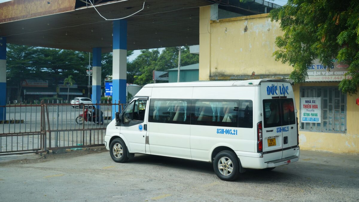
Getting around Kampala: metros, taxis and passes
Master Kampala's transport: minibus fares, boda boda safety, and walking tips for Uganda's bustling capital.
 News & Updates
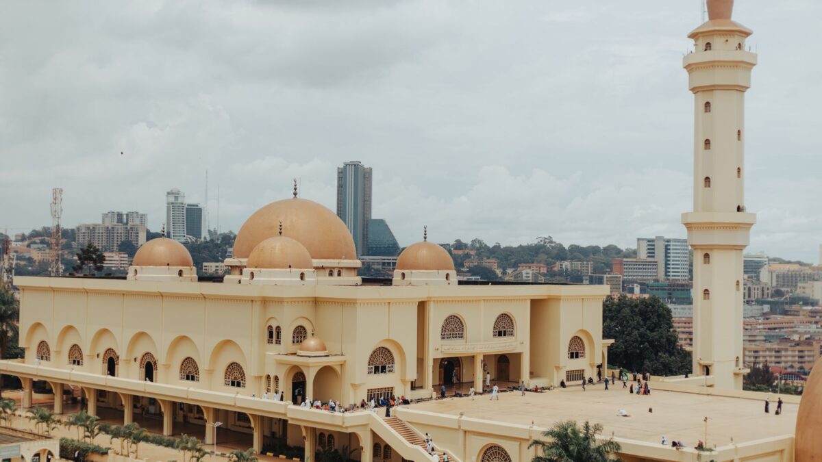
Uganda in September 2026: what travelers should know now
Uganda in September 2026: Weather updates, traffic alerts for major events, current costs, and essential travel tips for Kampala.
 News & Updates
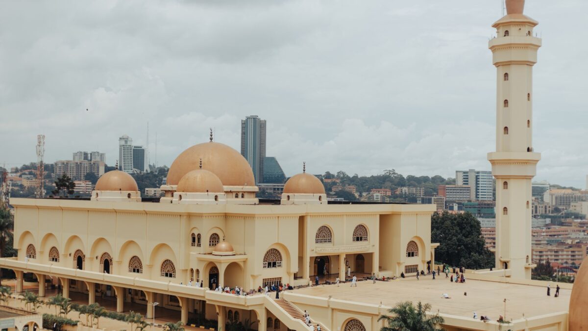
Uganda in August 2026: what travelers should know now
Your August 2026 Kampala briefing: fashion weeks, lit fest, taxi crackdown, weather, and street-food prices — from a local.
East Africa
 Kenya
KenyaKenya Travel Podcast with Baraka Kimani
The Swahili coast has linked Mombasa with India, China, Persia and the Arab world since at least the 2nd century, shaping Kenya's…
 Tanzania
Tanzania Travel Podcast with Zawadi Mushi
The northern highlands of Tanzania contain Kilimanjaro, Africa's highest point, one of only three mountain ranges on the continent with glaciers.
 Rwanda
Rwanda Travel Podcast with Uwase Mutesi
Kinyarwanda is the universal language spoken across Rwanda's rugged grassy uplands, where most people live in the central regions and along Lake…
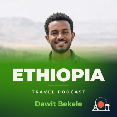 Ethiopia
Ethiopia Travel Podcast with Dawit Bekele
The Great Rift Valley slices through Ethiopia's high plateau, dividing a landscape where the Blue Nile rises from Lake Tana and most…